

")


Meltemus Vector Charts
Meltemus charts packs are useable only with qtVlm, on all platforms (Windows, MacOS, Linux, Android, iOS and Raspberry). On Android, iOS and windows tablet, a full version of qtVlm is needed in order to display our chart packs.
Meltemus Charts Packs are useable in qtVlm only. During one year, charts will be updated weekly except from charts derived from UKHO (AR, BE, ES, GB, HR, IS, MT, NL, PT, SR, ZA) which are updated quarterly.
At the end of the subscription charts packs are still useable but cannot be updated nor installed or reinstalled.
3 installations are authorized.
Once you completed your purchase, we'll send you a Meltemus account that you can use to login in qtVlm Licenses Management (Menu->qtVlm->Licenses Management). This step is manual, you can expect some delay between your purchase and the validation of the order on our side.
From the licenses management screen you will be able to see all your purchase and install or update the charts on your device.
Renewal is made at subscription price.
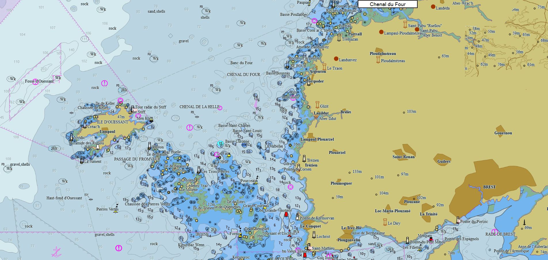
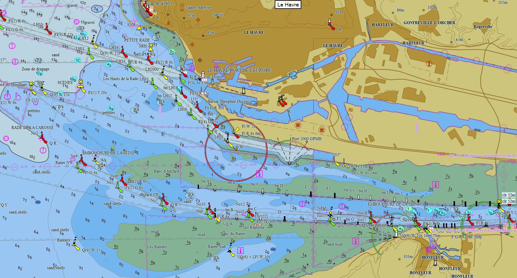
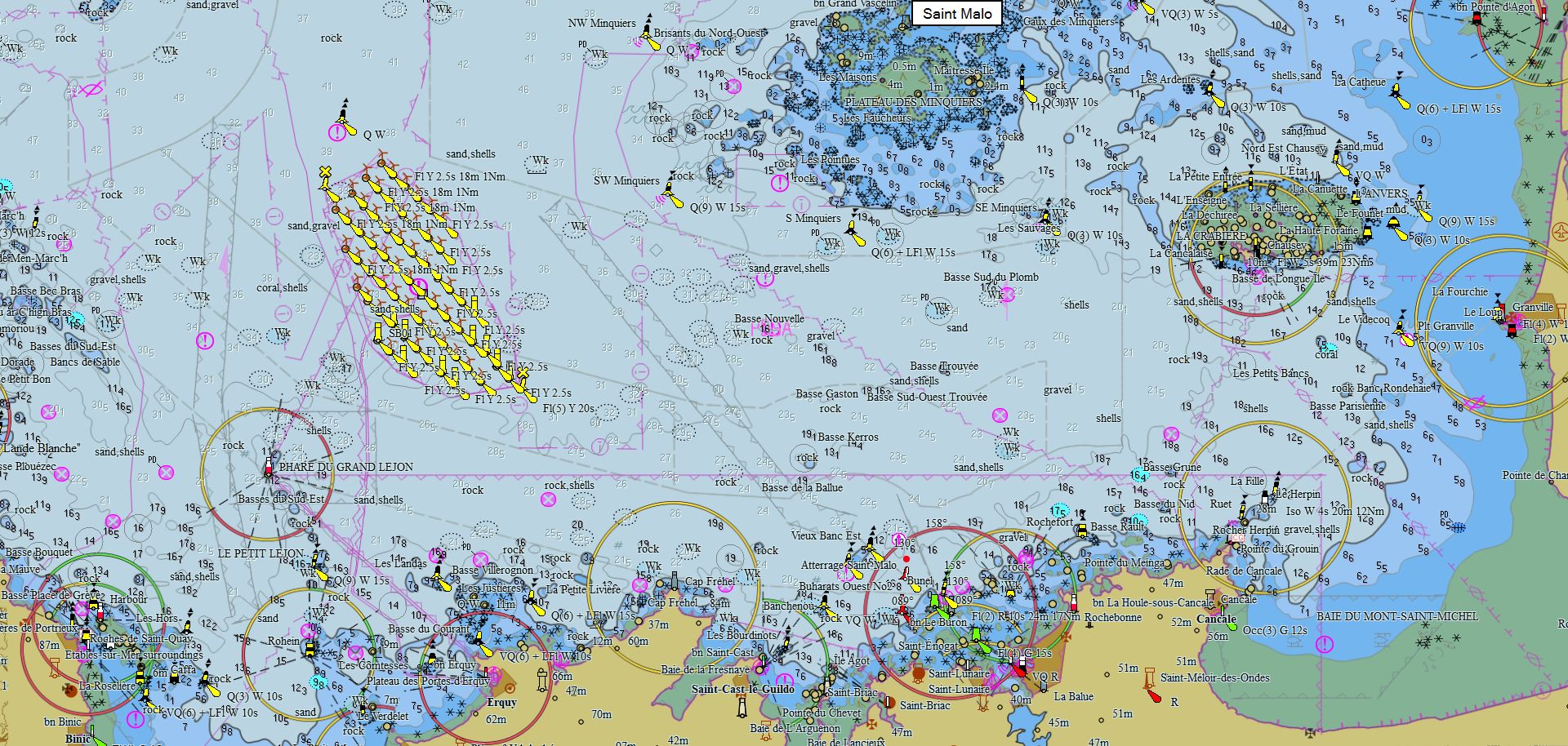
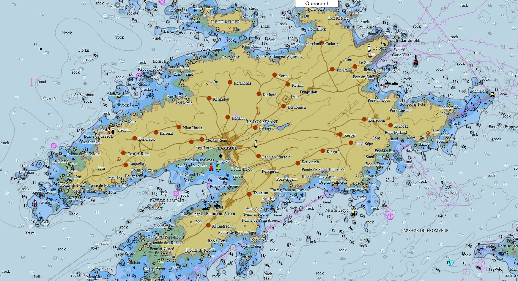
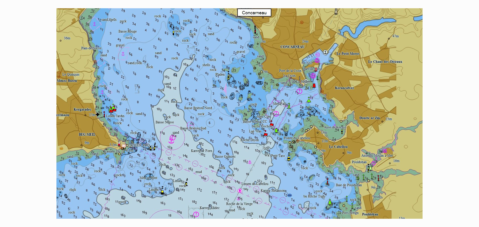
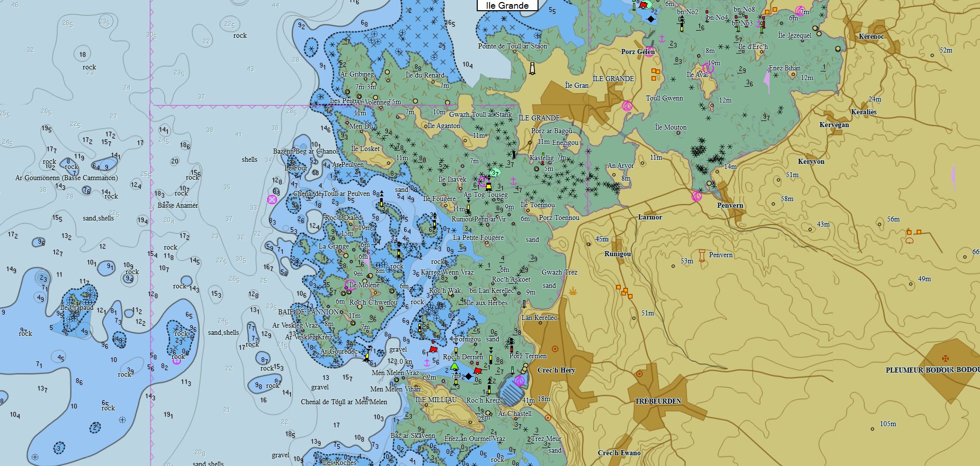
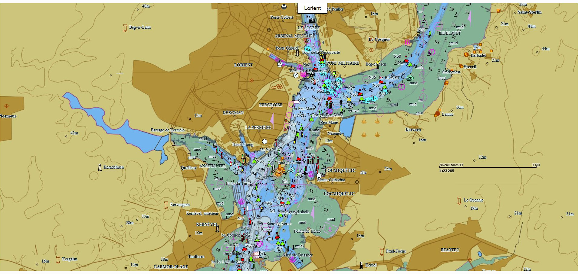
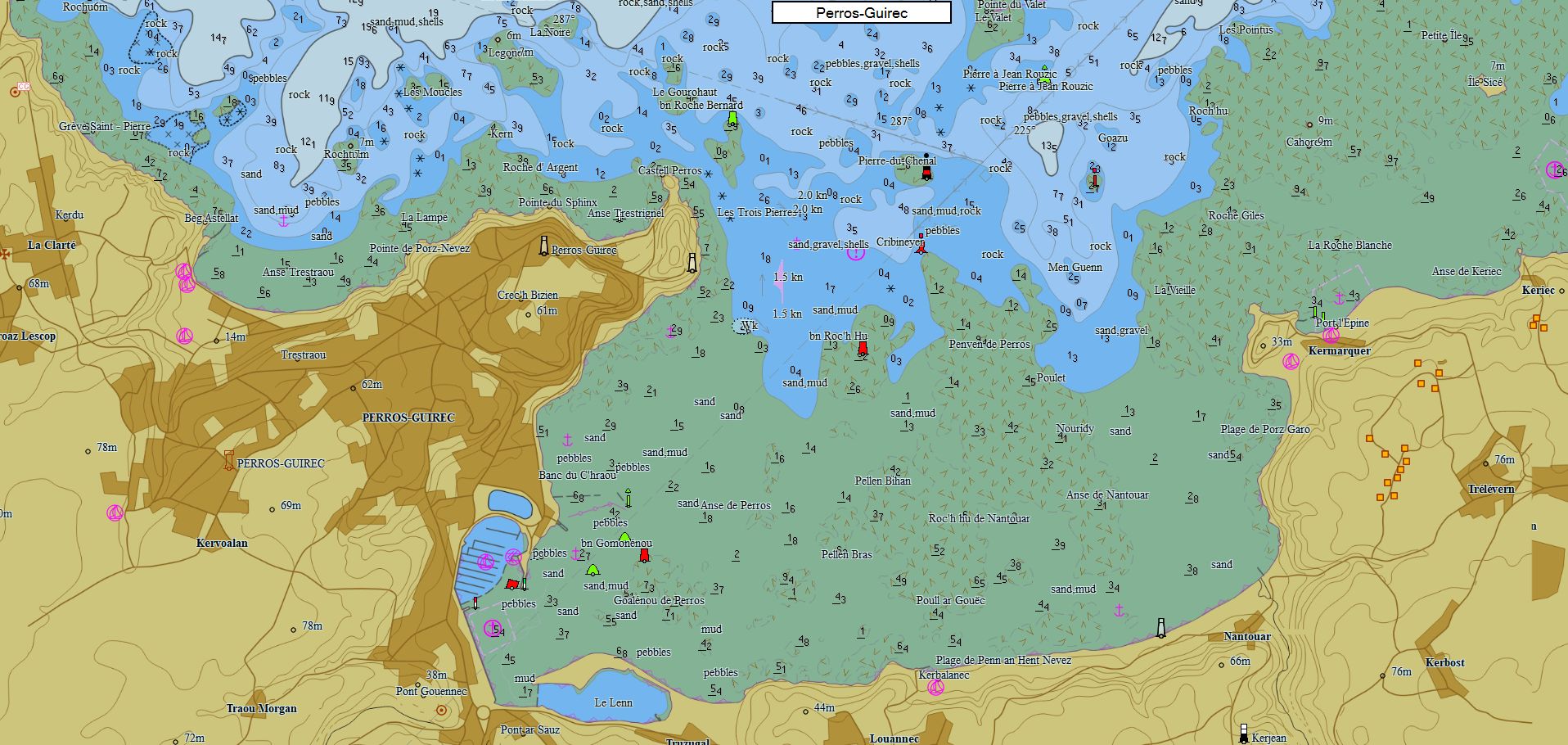
Packs - North Europe
|
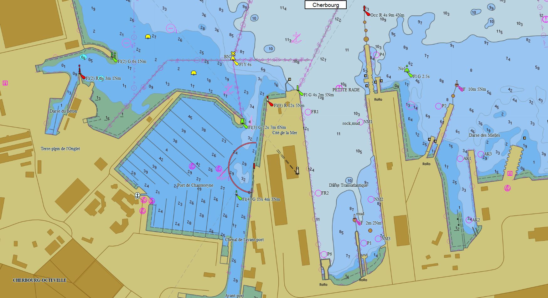
Channel 268 charts 79 € Purchase |
|
|
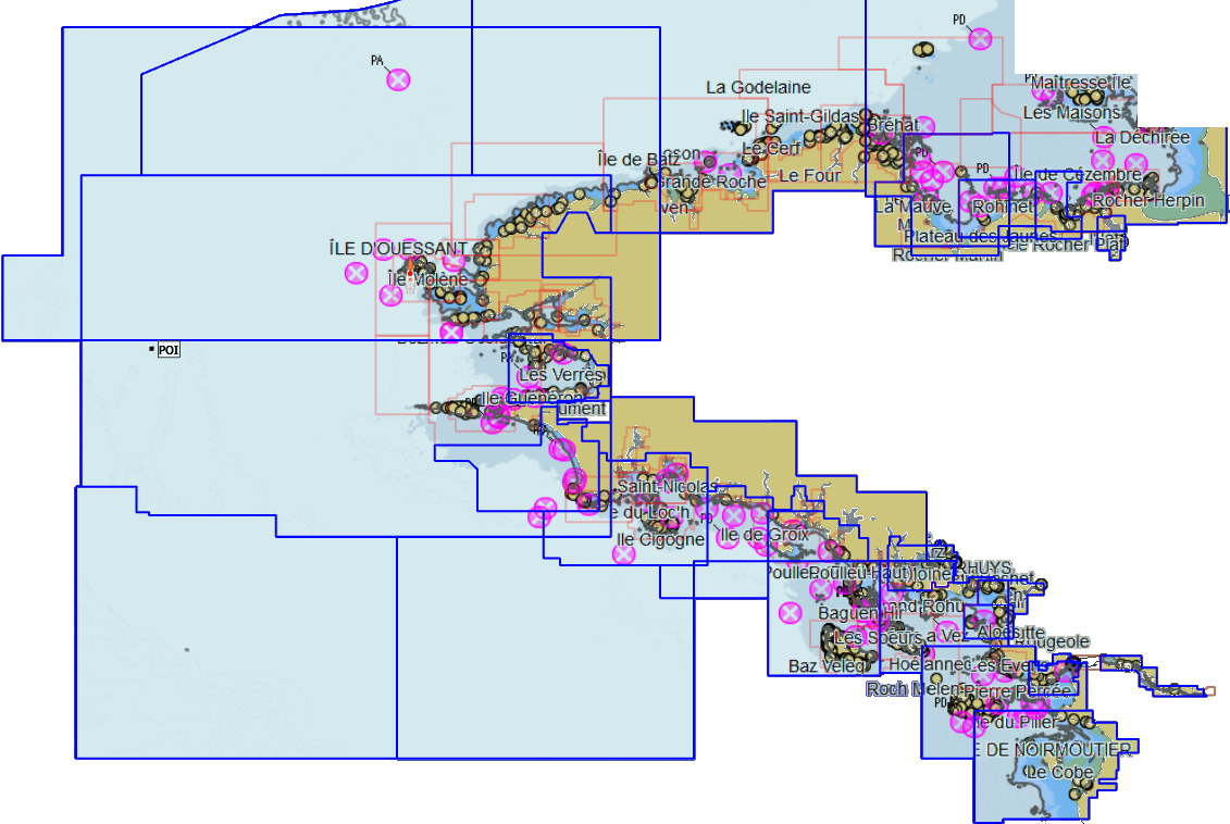
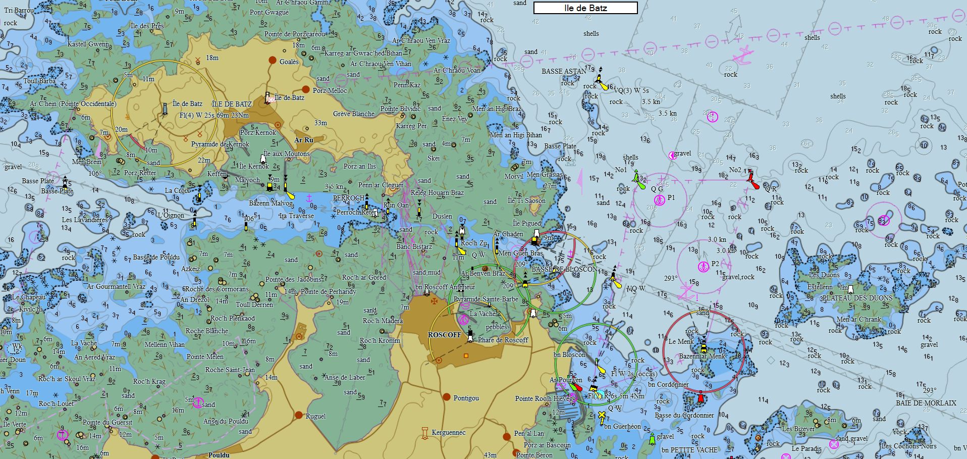
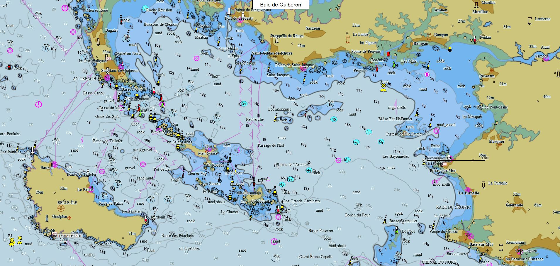
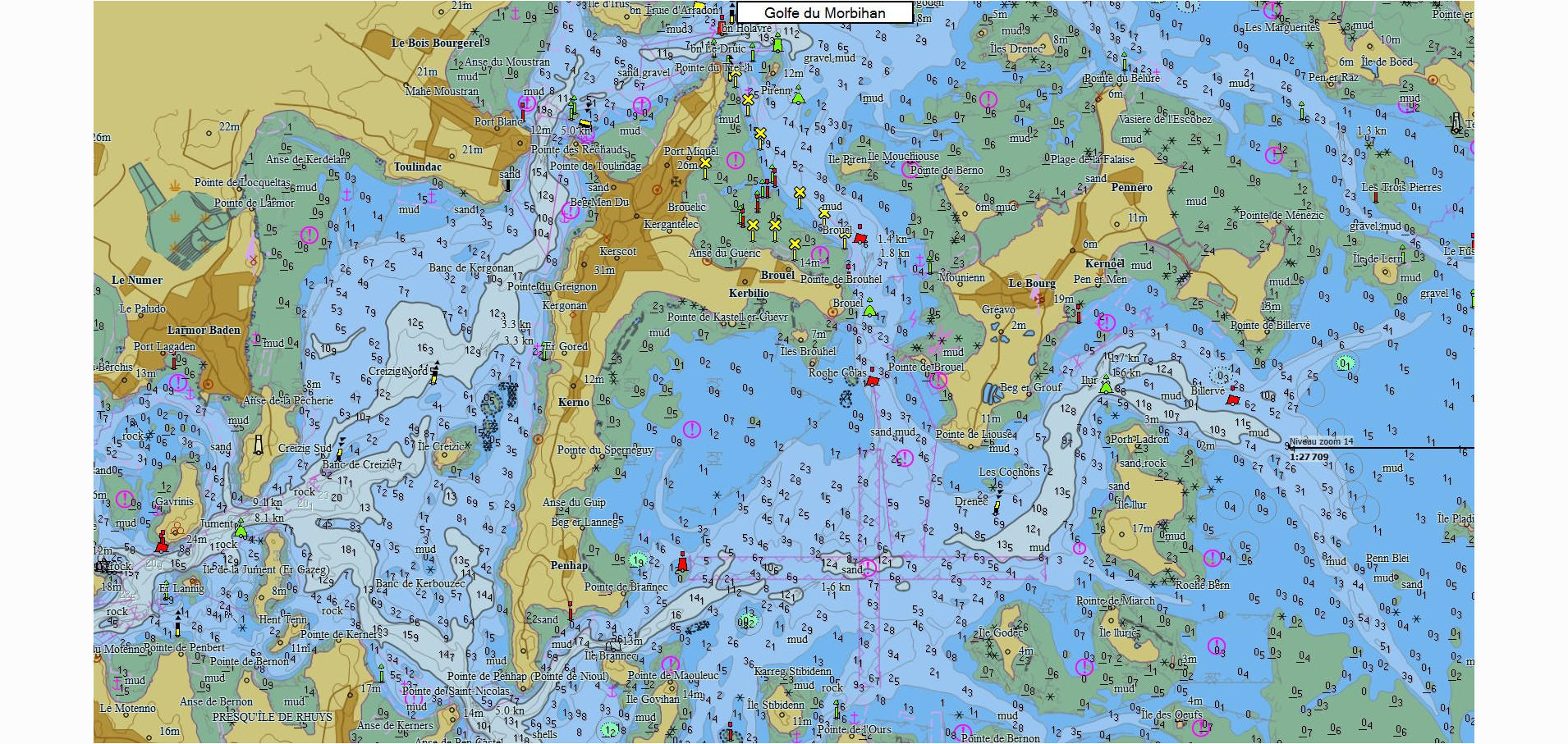
Brittany 112 charts 79 € Purchase |
|
|
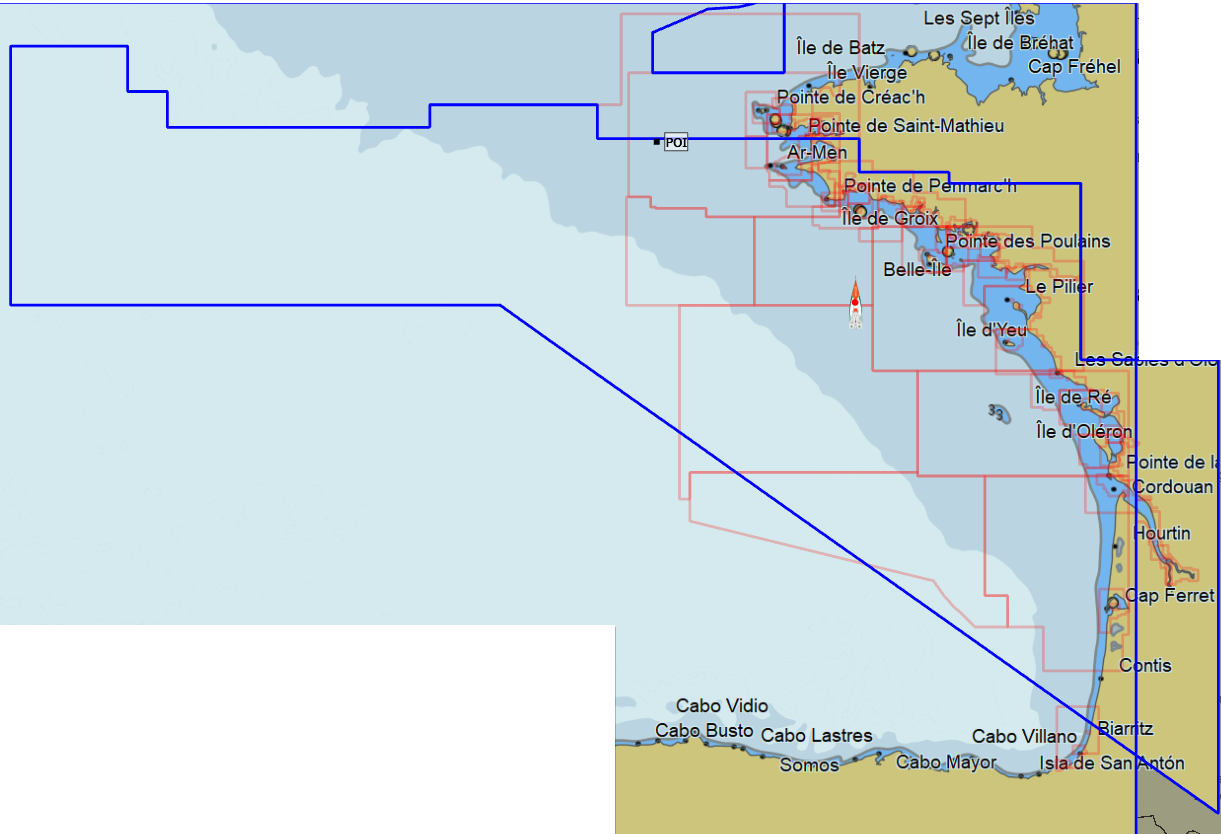
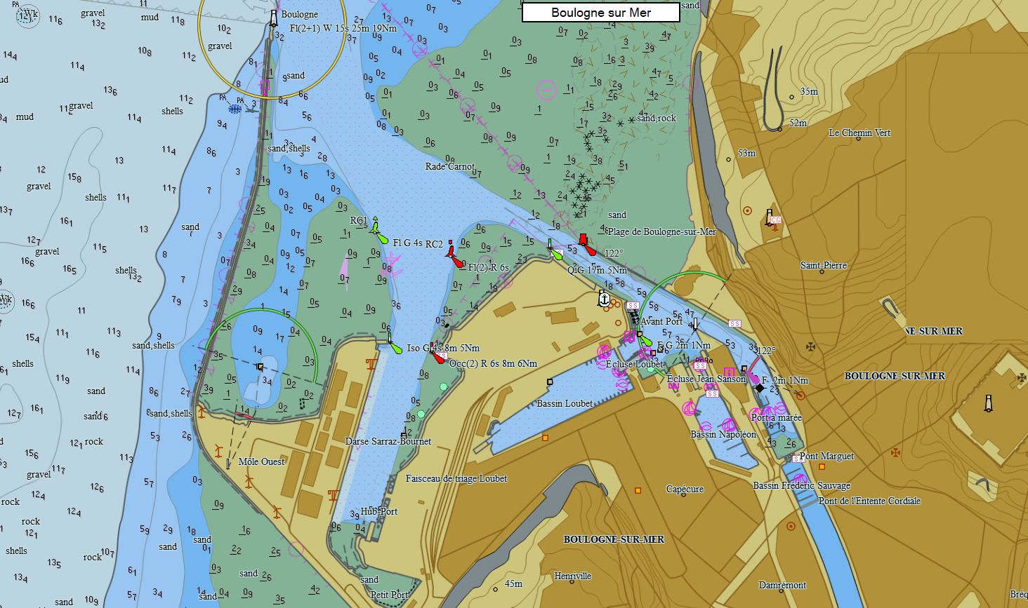
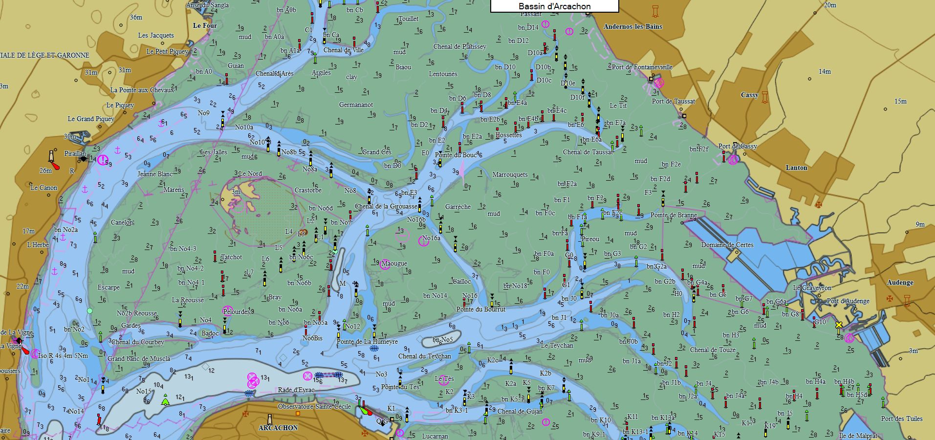
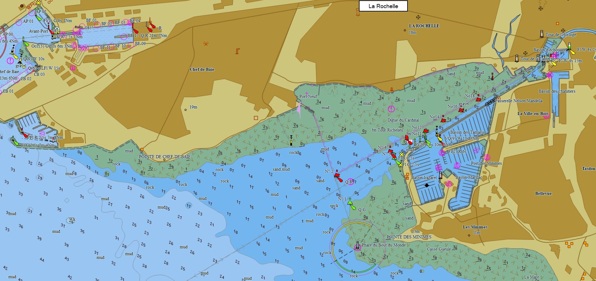
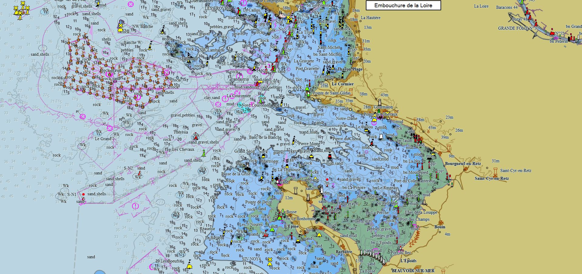
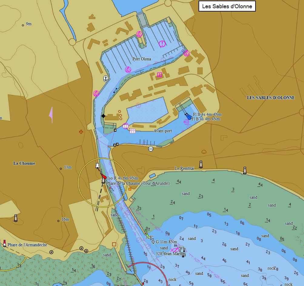
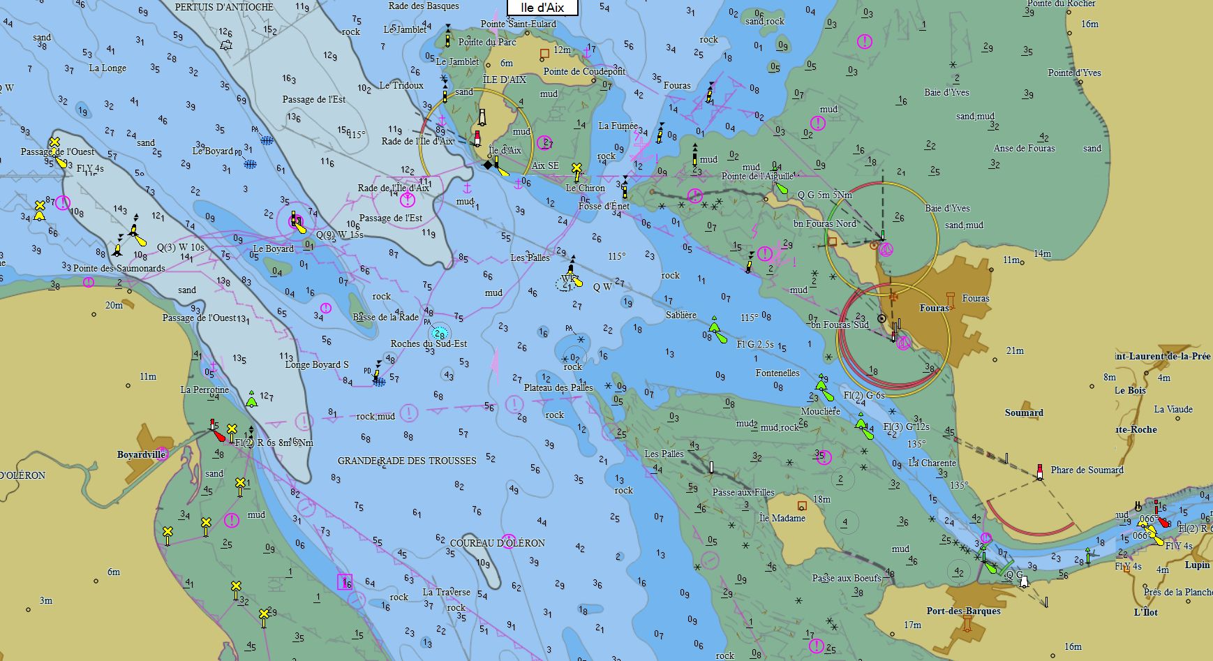
Atlantic France 119 charts 79 € Purchase |
|
|
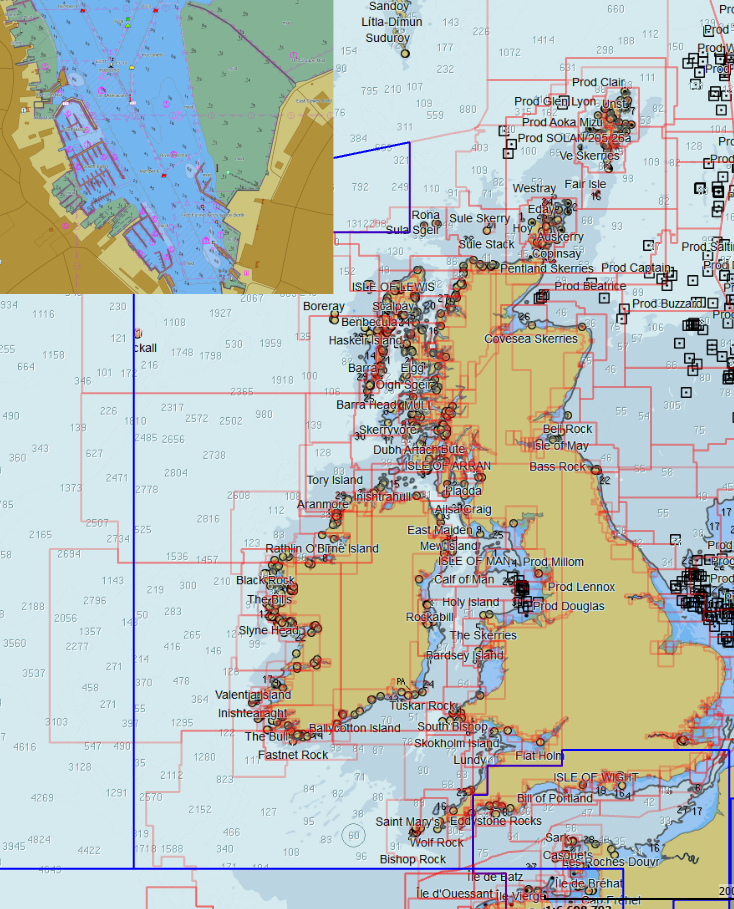
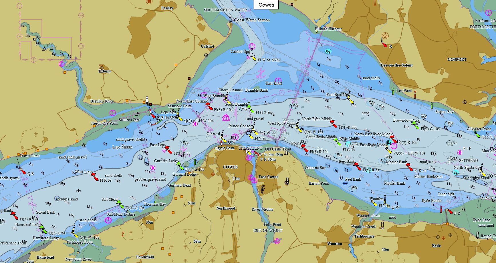
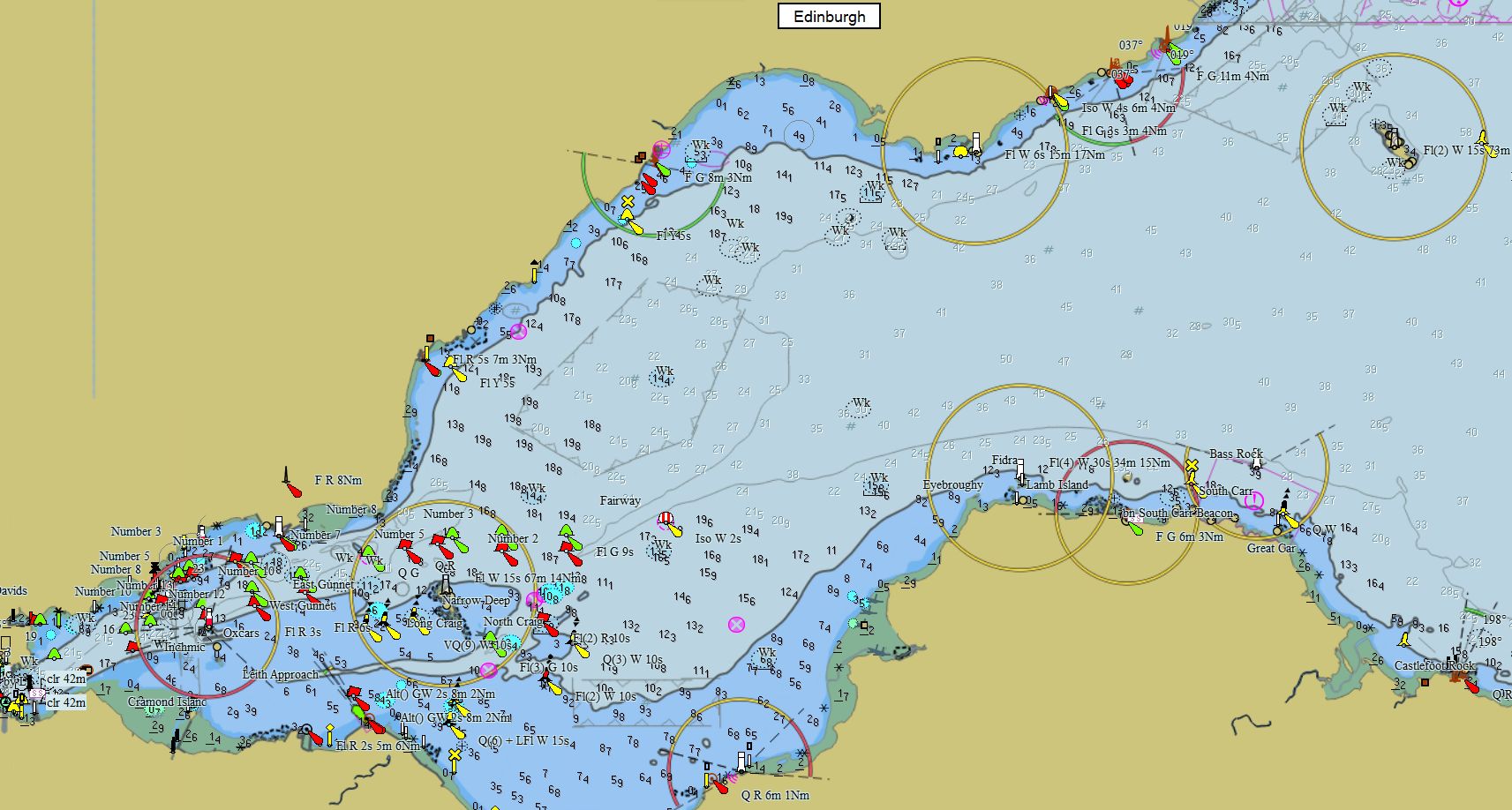
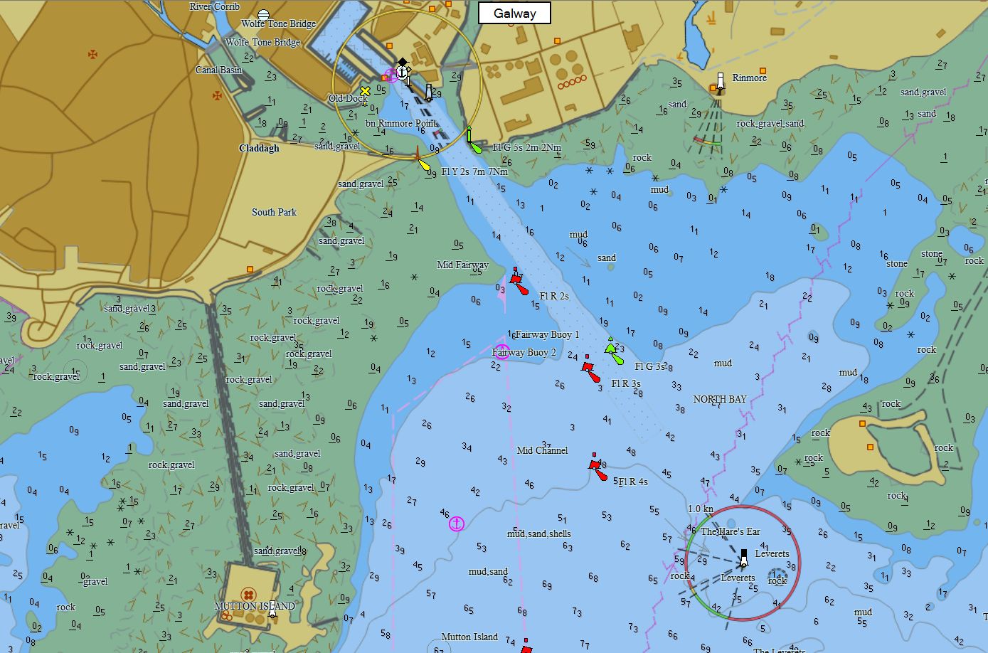
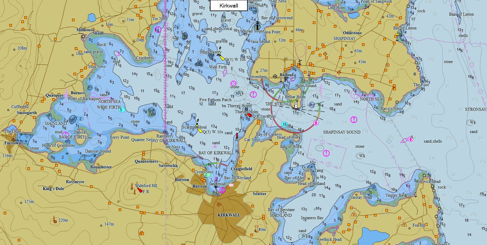
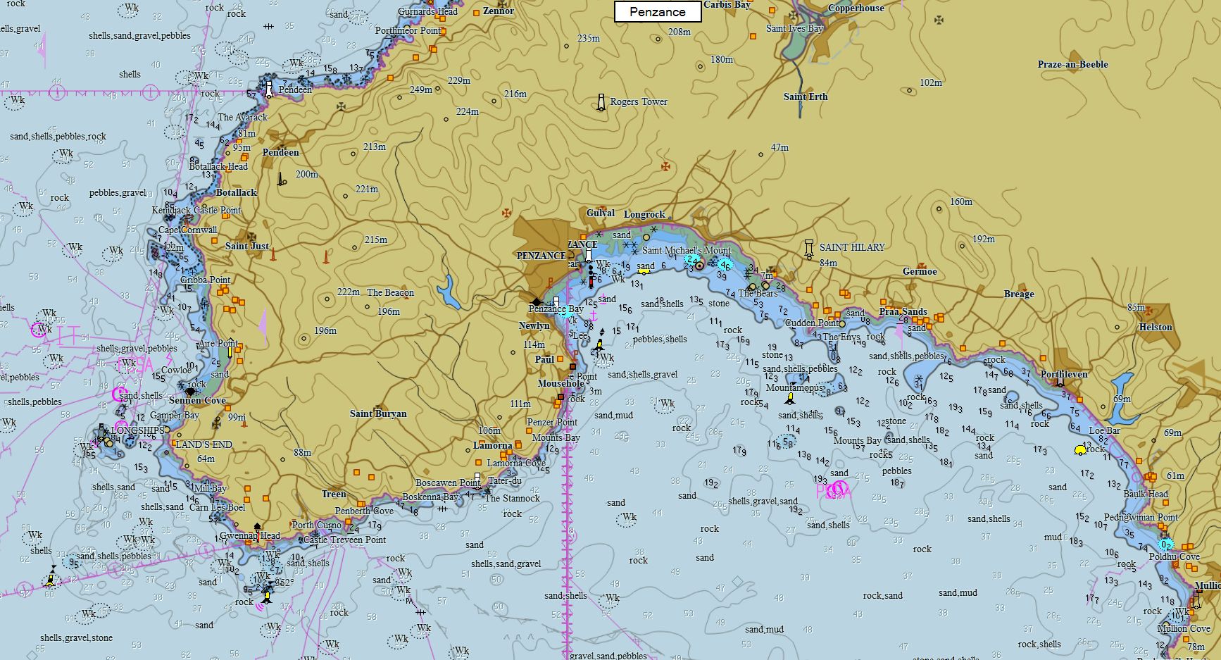
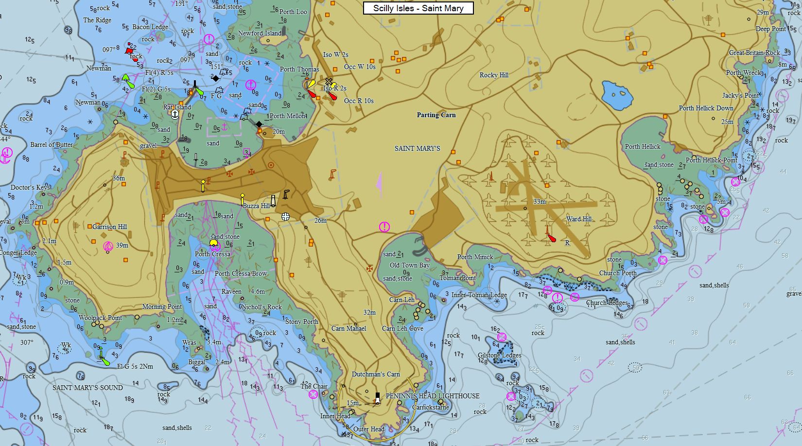
British Isles 821 charts 89 € Purchase |
|
|
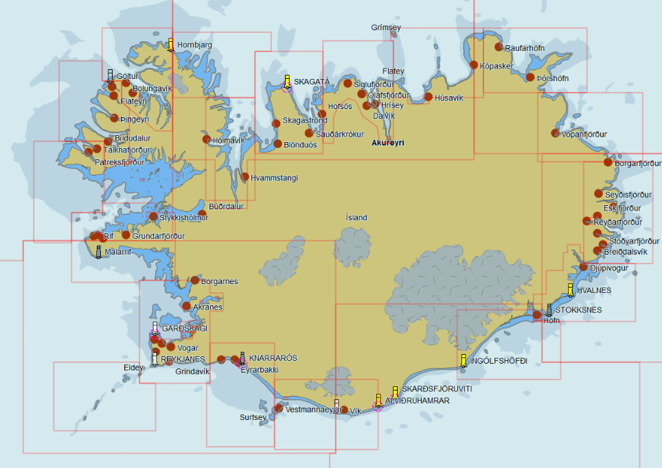
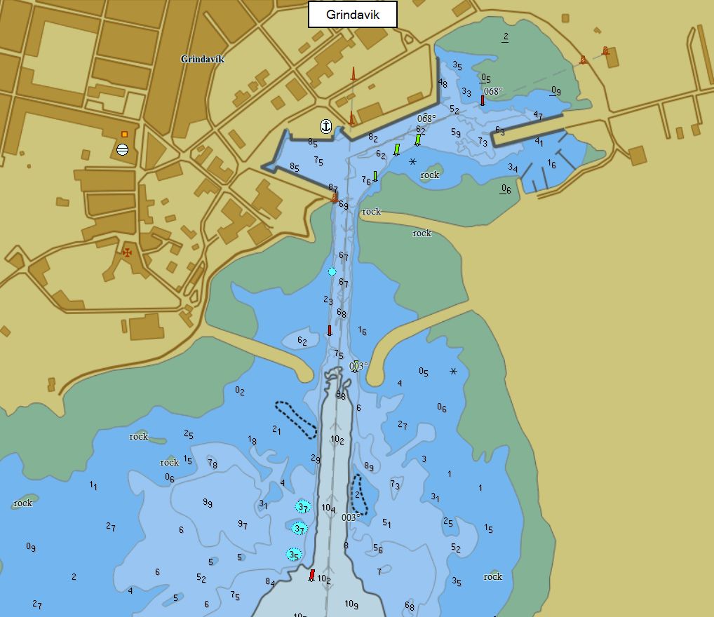
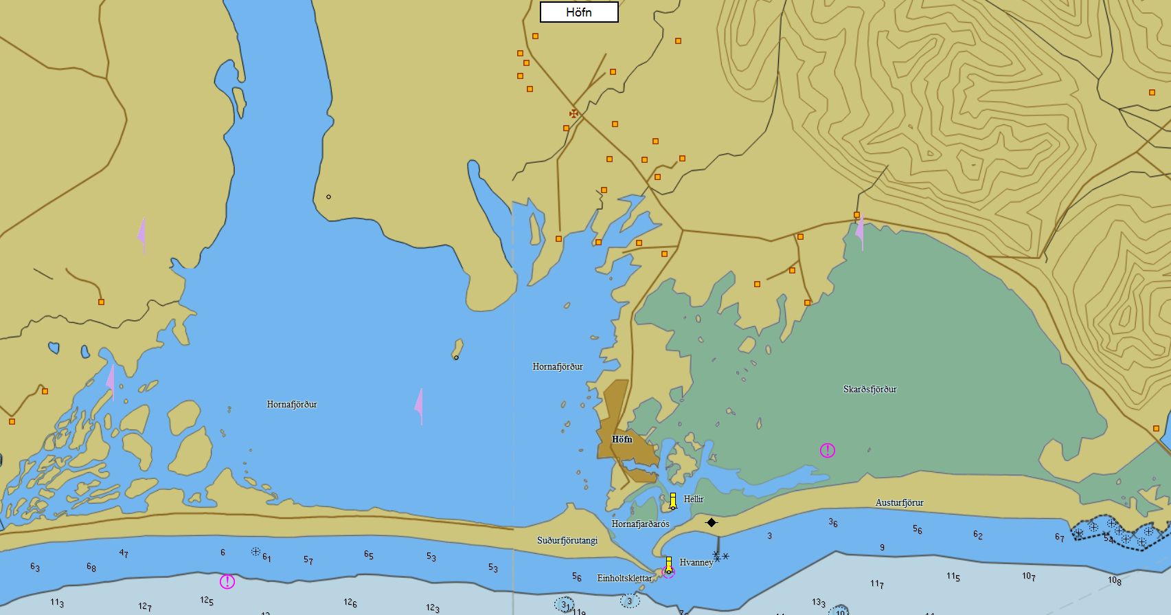
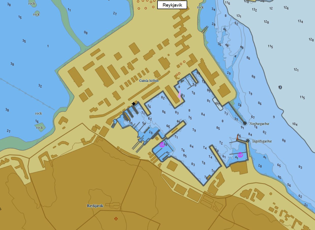
Iceland 82 charts 59 € Purchase |
|
|
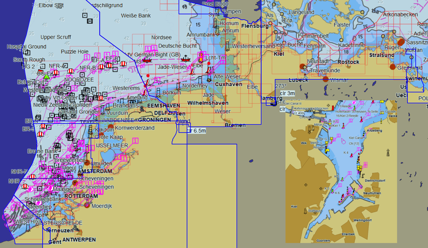
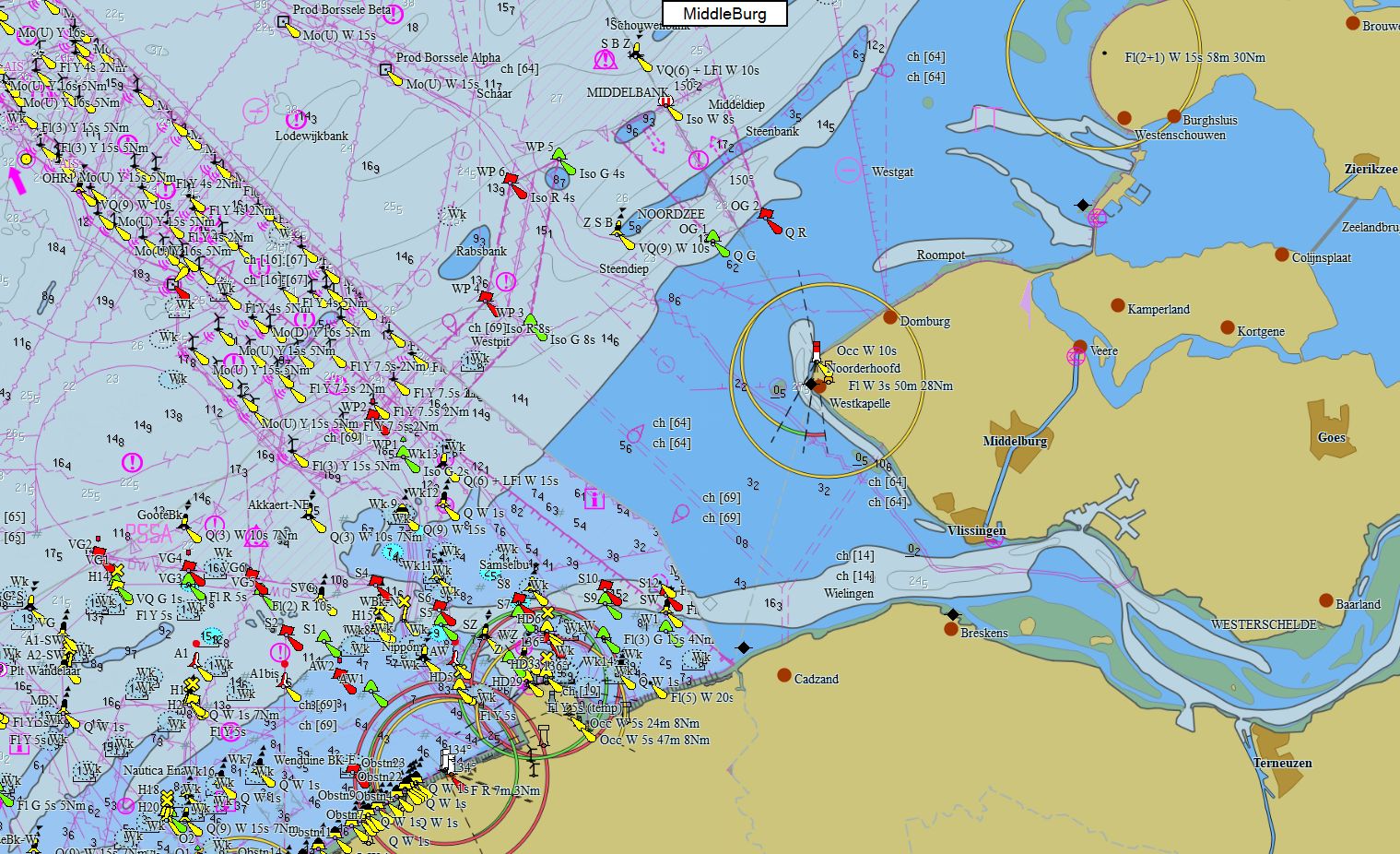
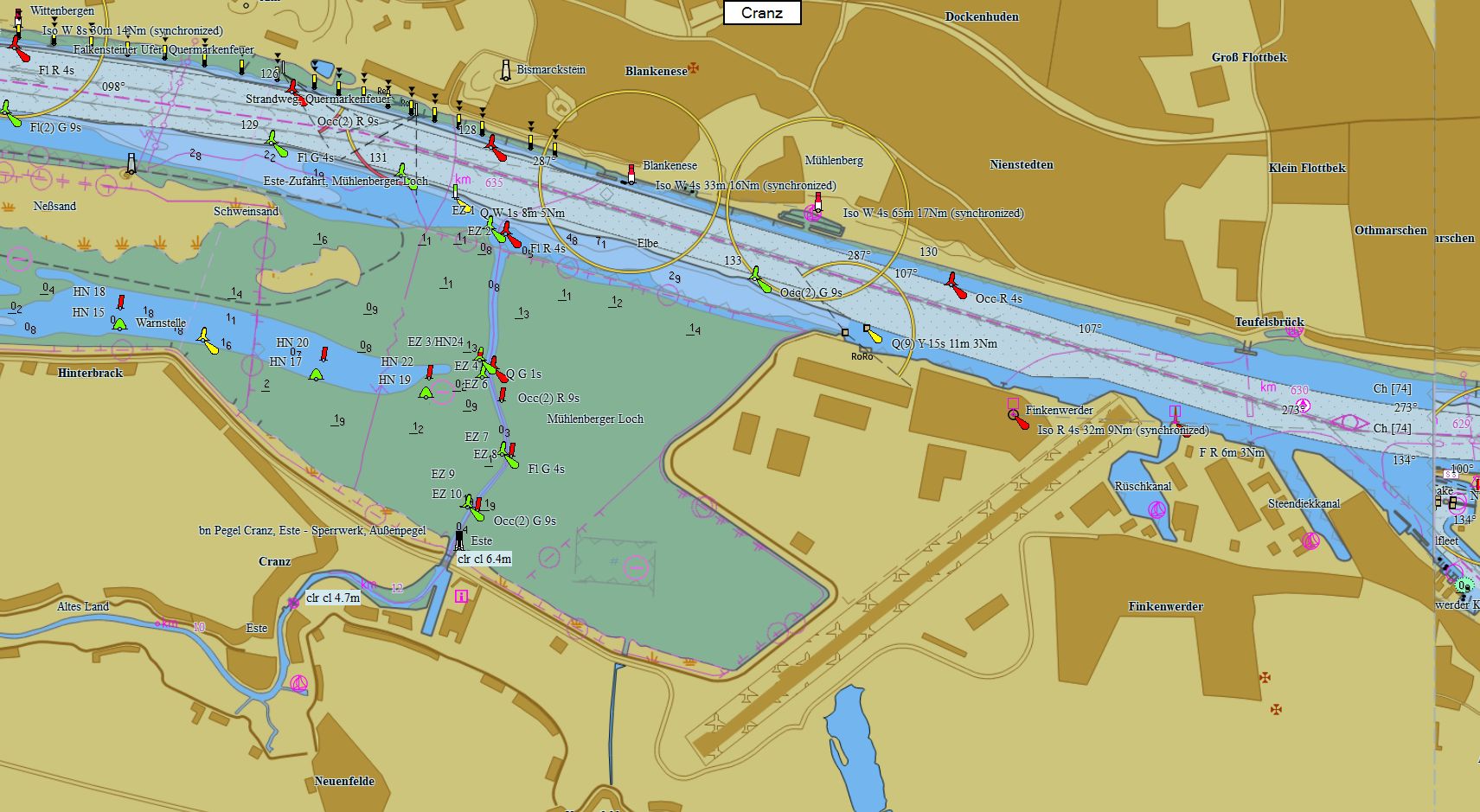
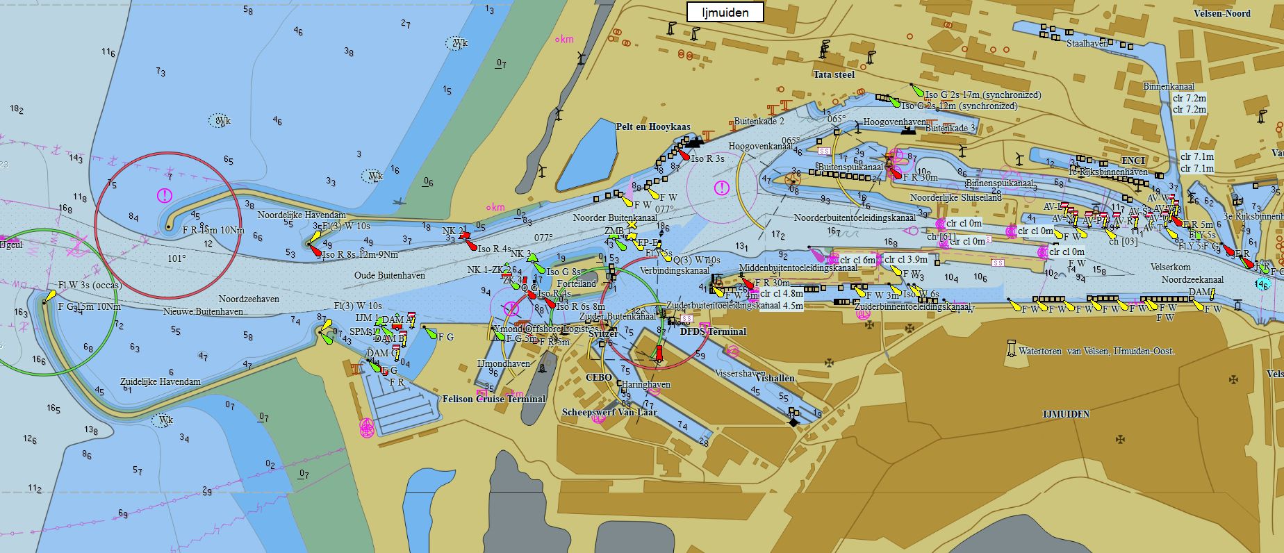
Germany-Netherlands-Belgium 449 charts 99 € Purchase |
|
|
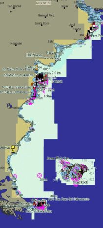
Denmark 391 charts 89 € Purchase |
|
|
Faroe Islands 11 charts 59 € Purchase |
|
|
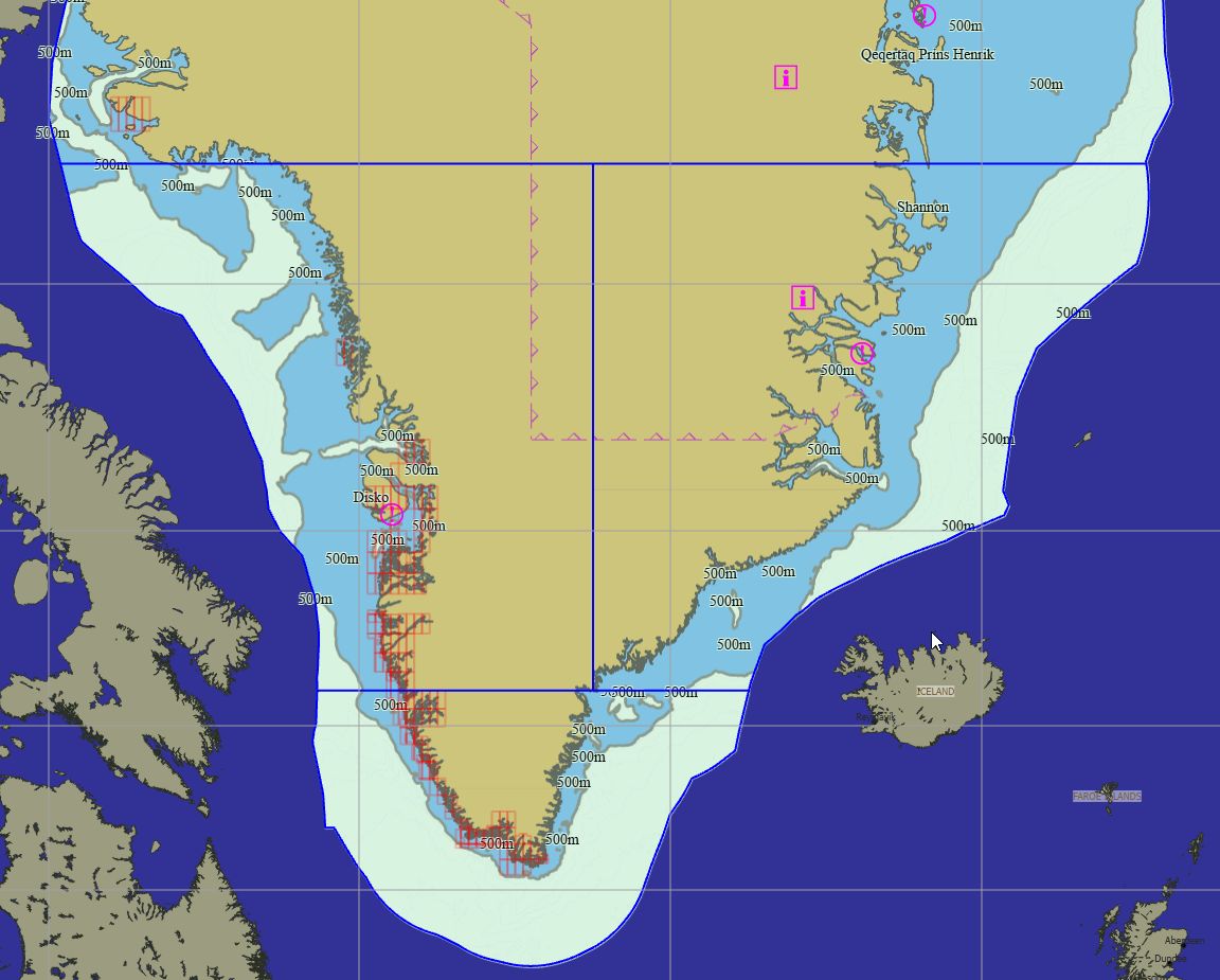
Greenland 247 charts 79 € Purchase |
|


Packs - South Europe
|
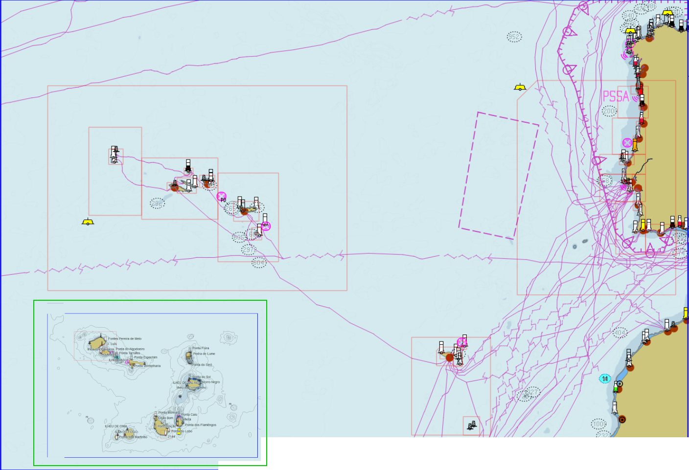
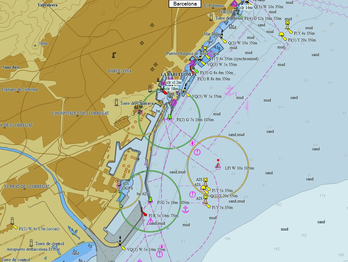
Mediterranean France 105 charts 79 € Purchase |
|
|
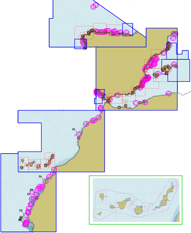
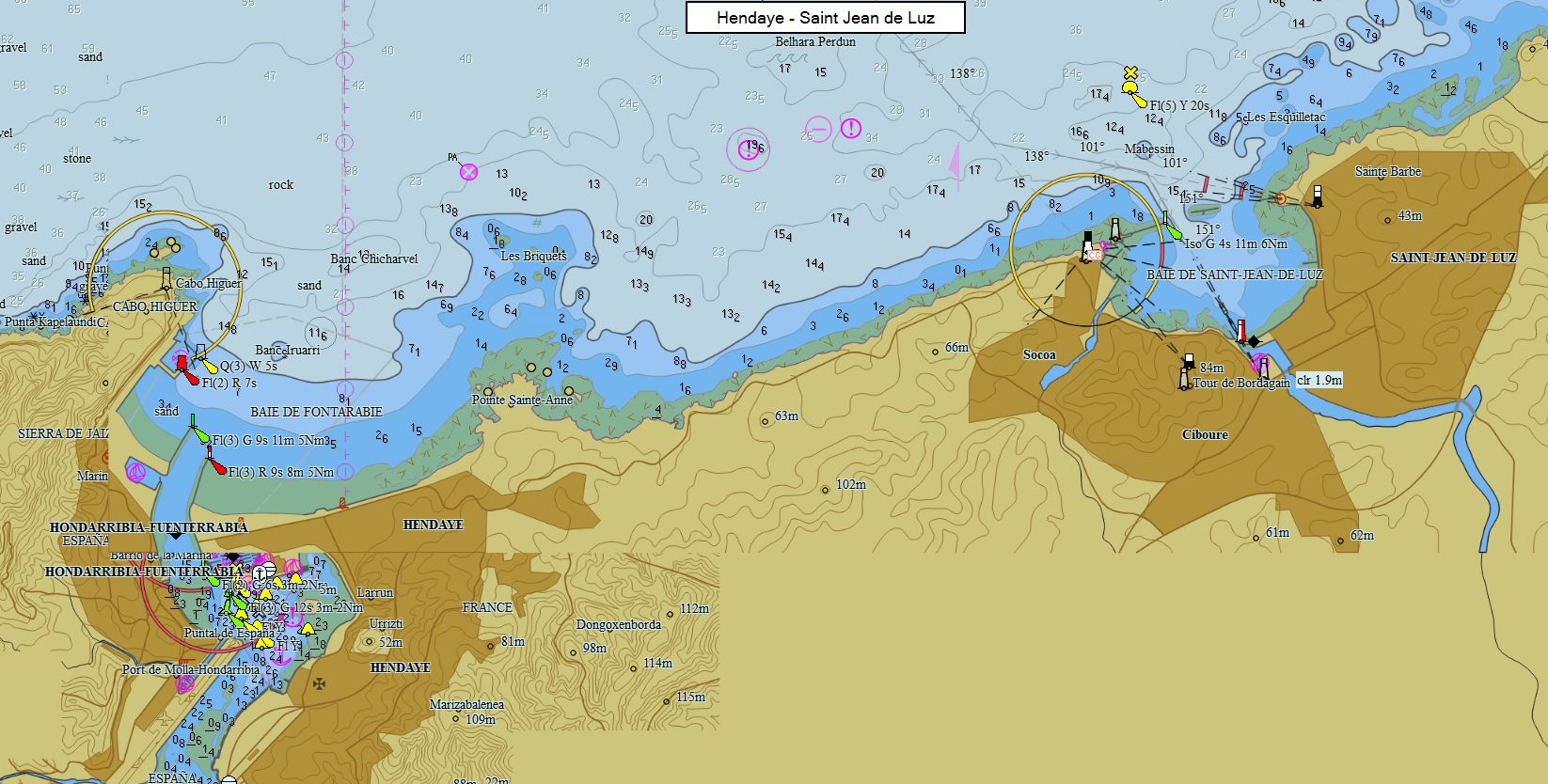
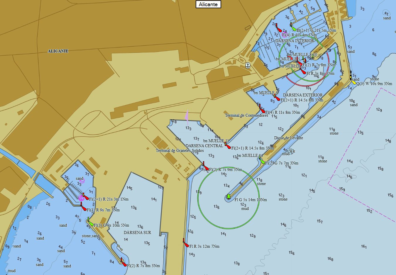
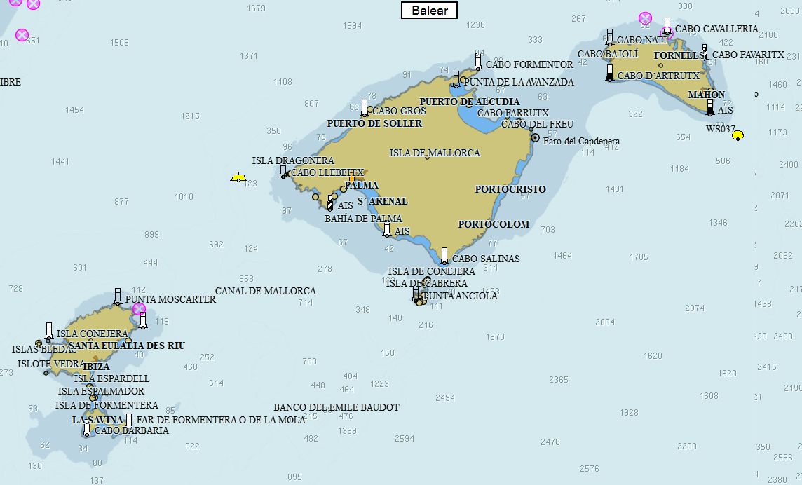
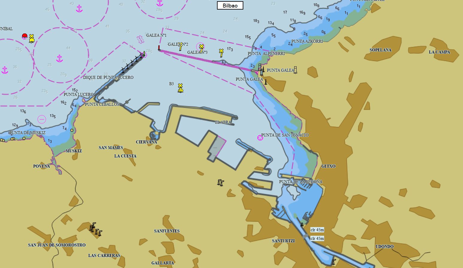
Spain 325 charts 79 € Purchase |
|
|
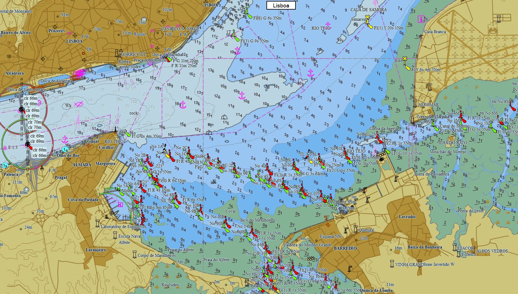
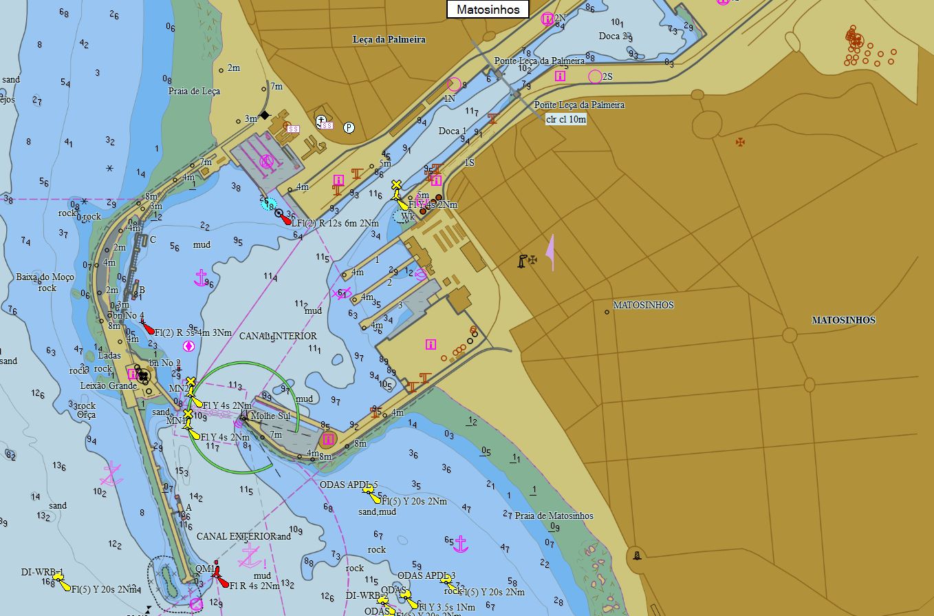
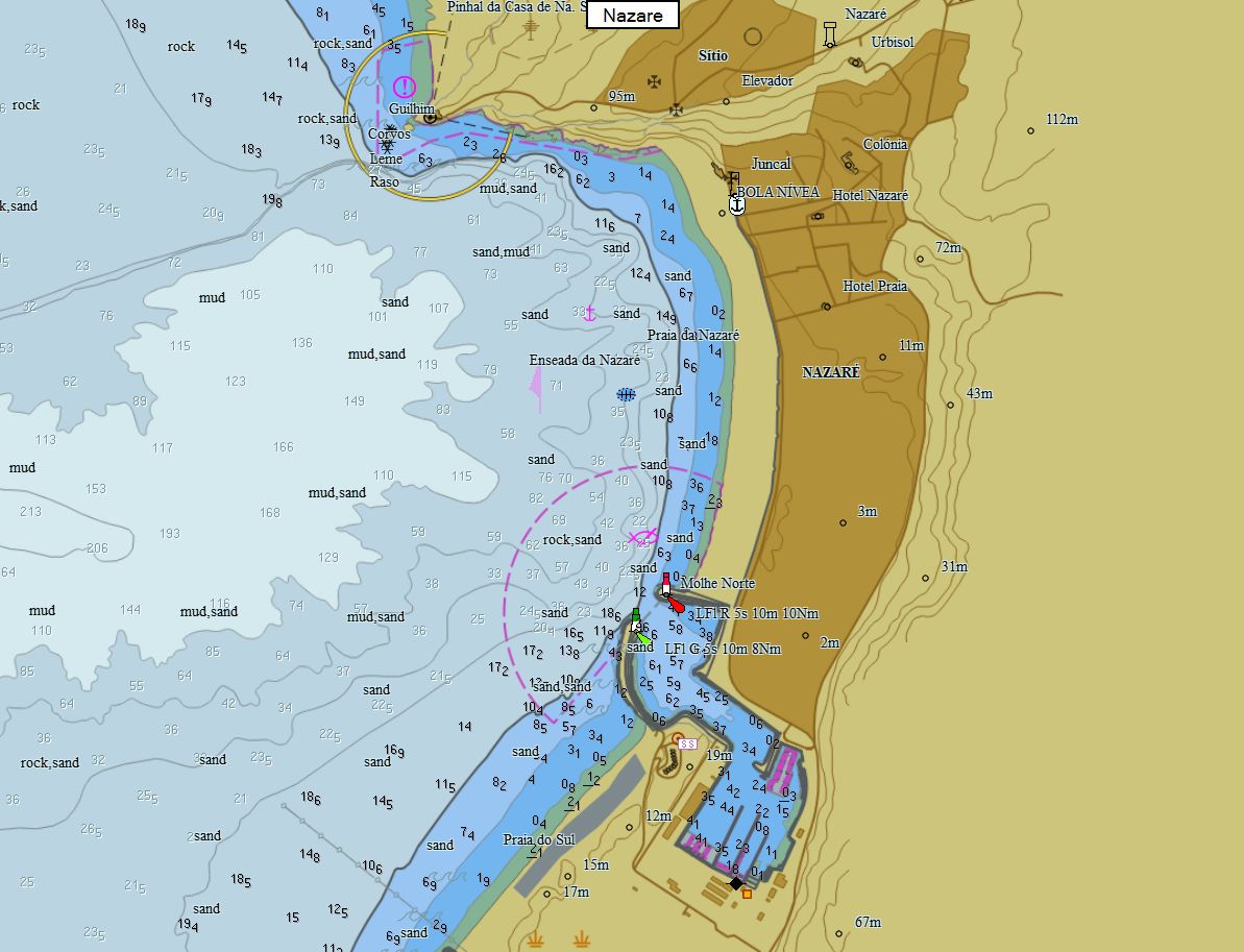
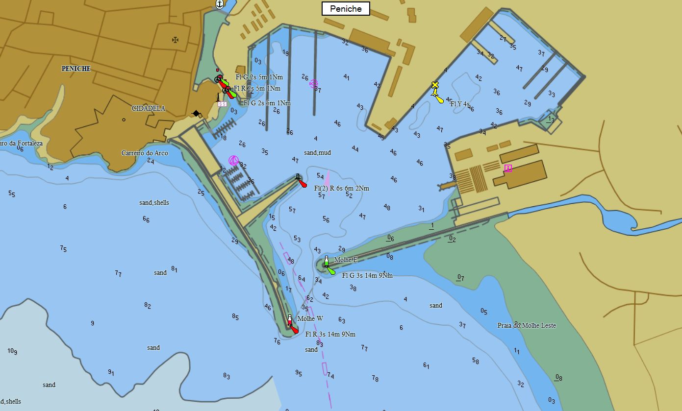
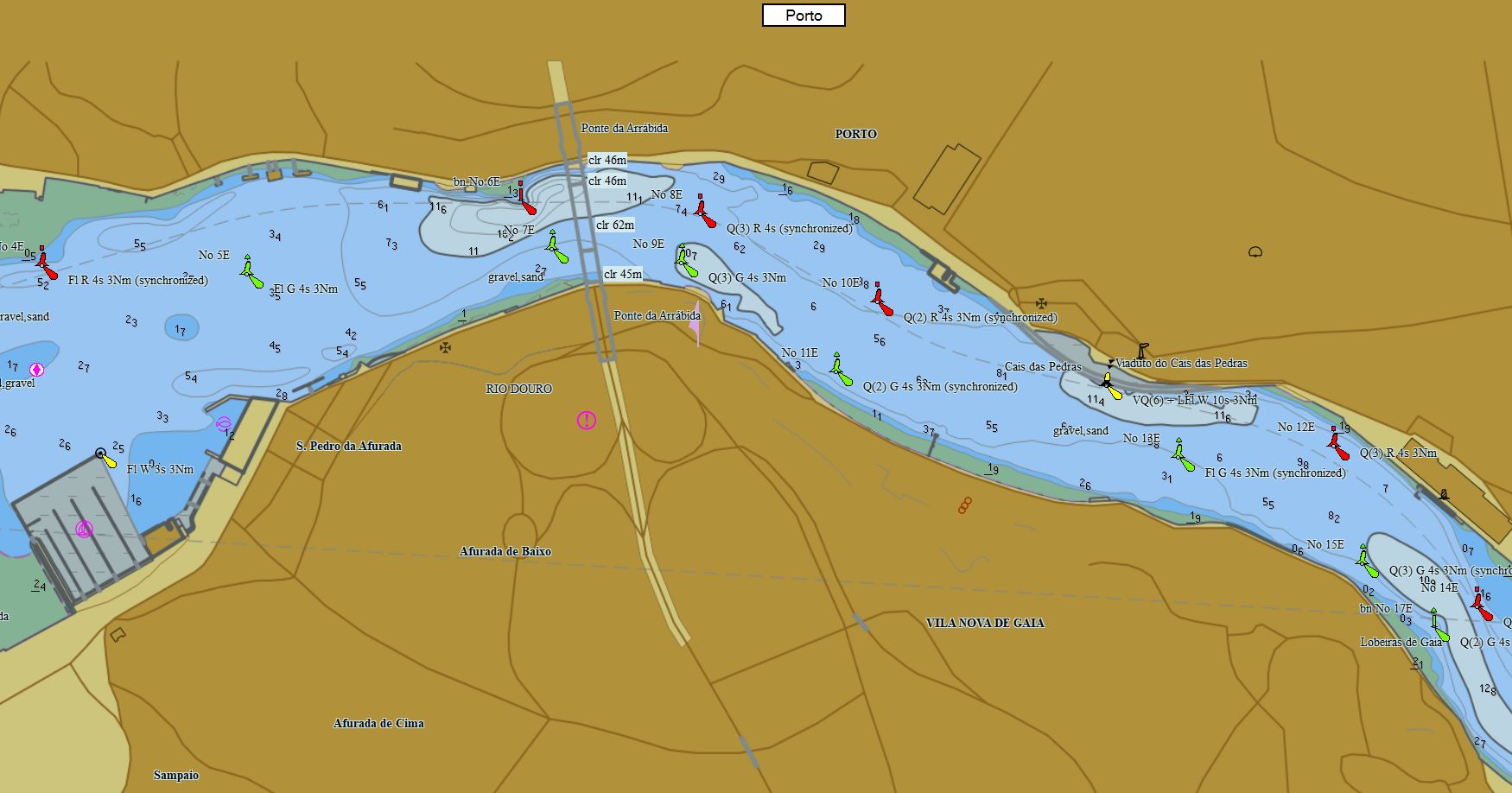
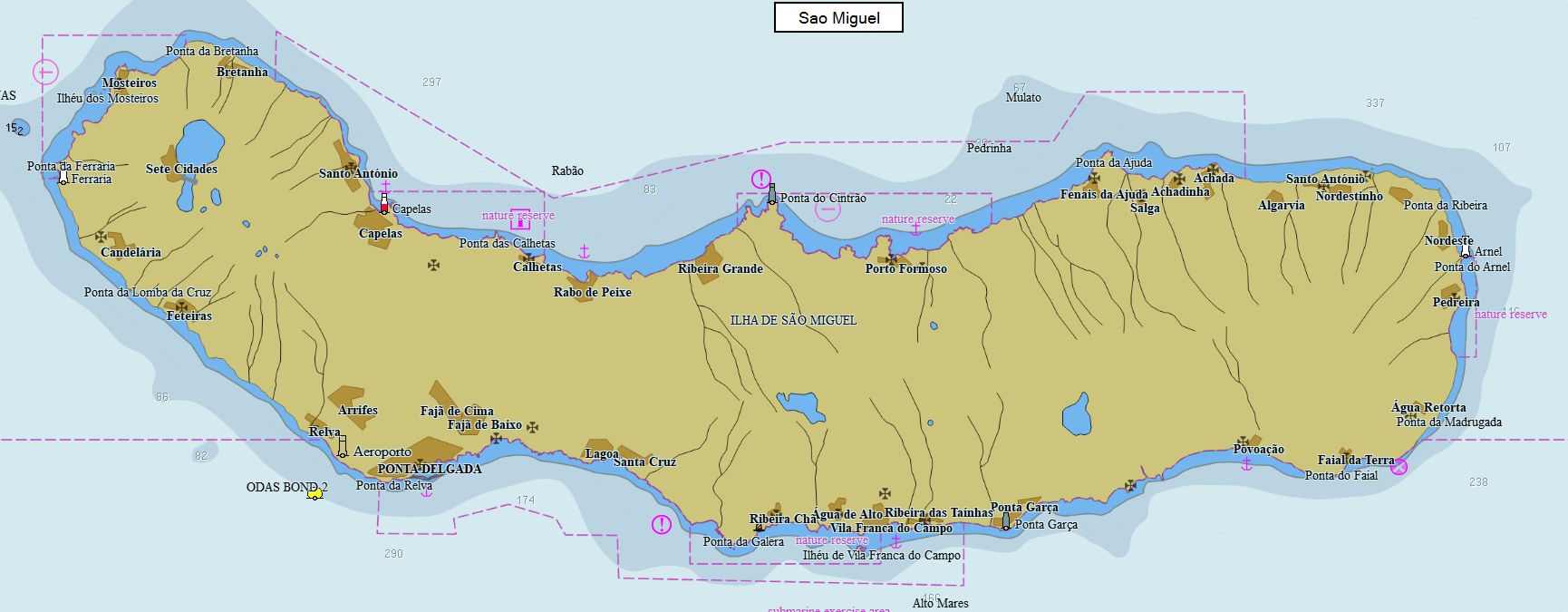
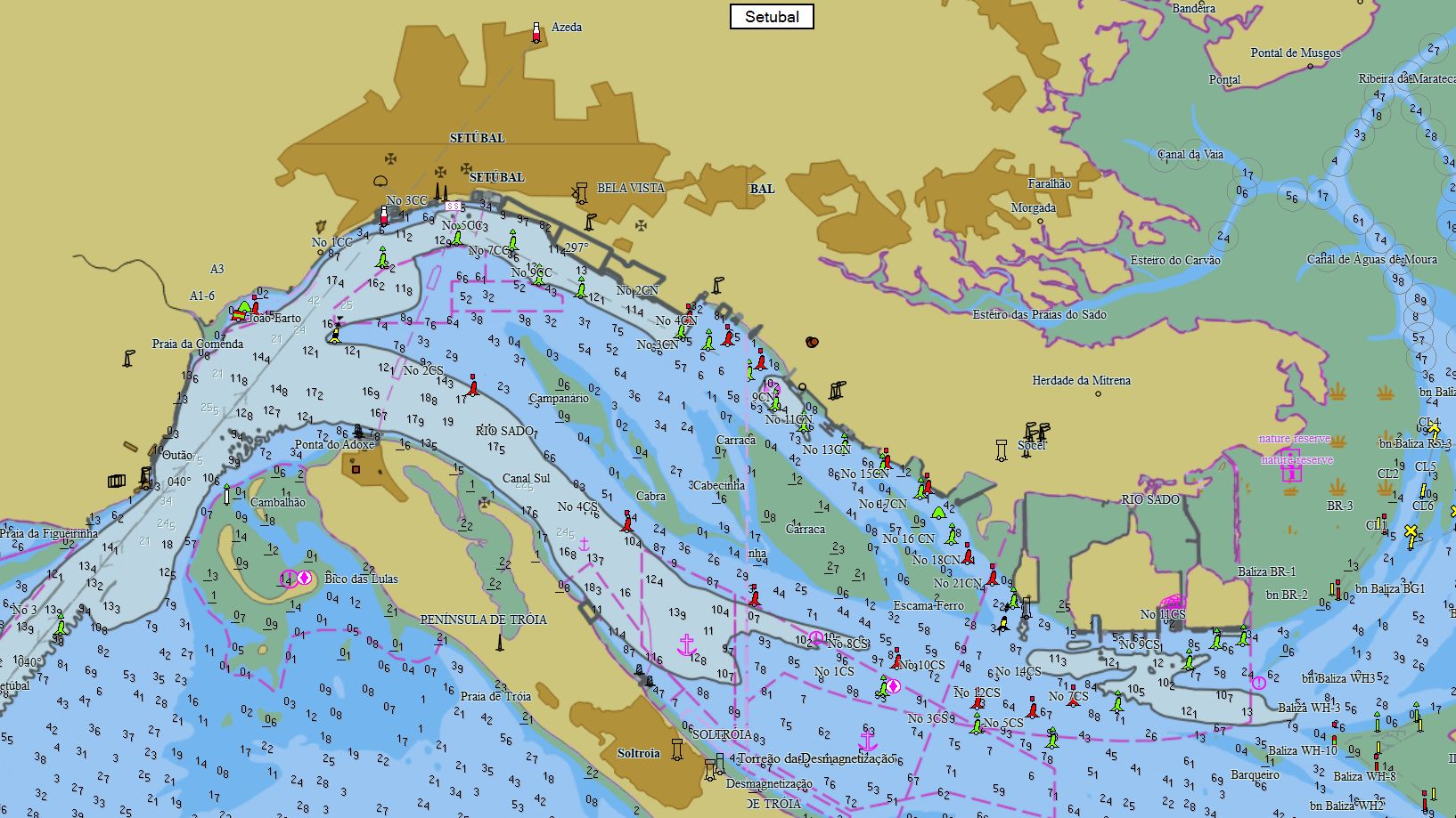
Portugal 97 charts 69 € Purchase |
|
|
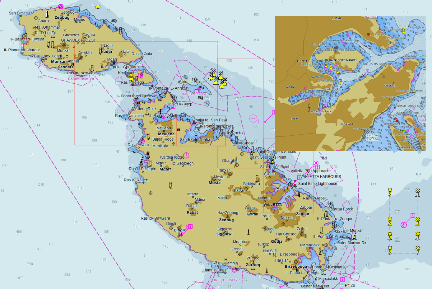
Malta 16 charts 19 € Purchase |
|
|
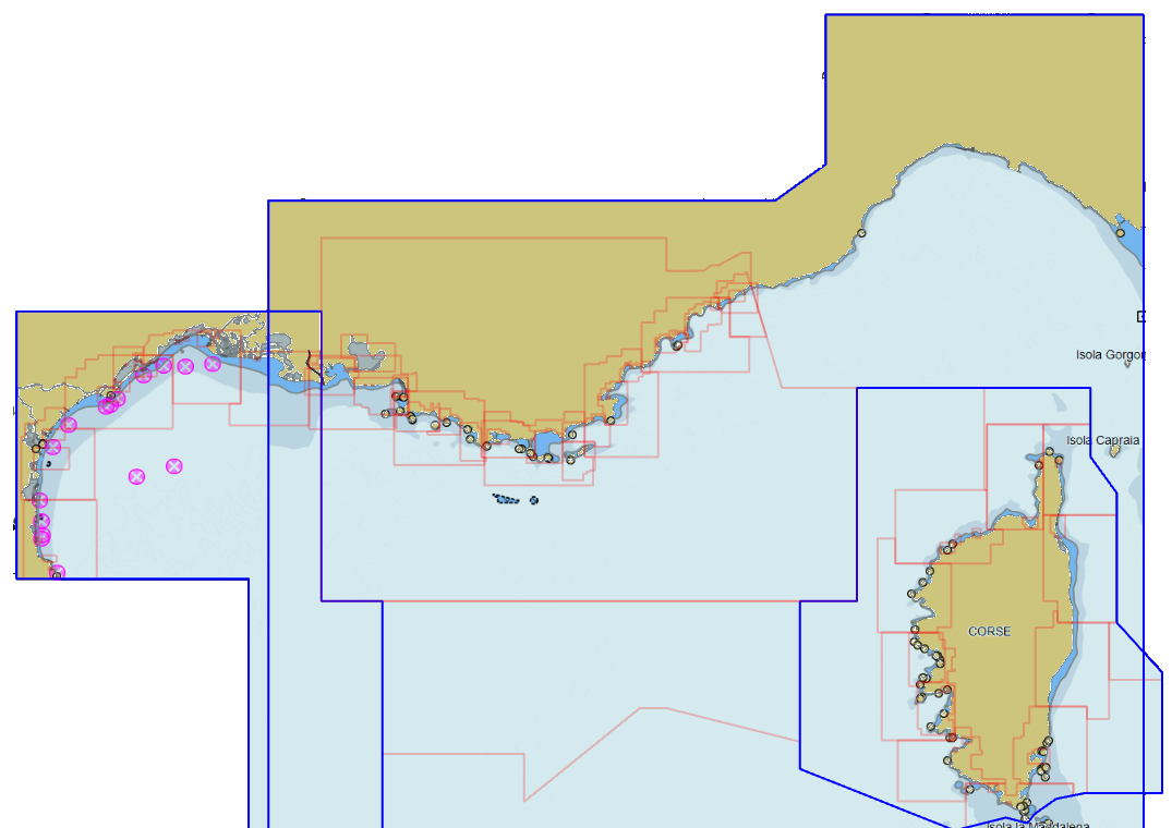
Italy 253 charts 69 € Purchase |
|
|
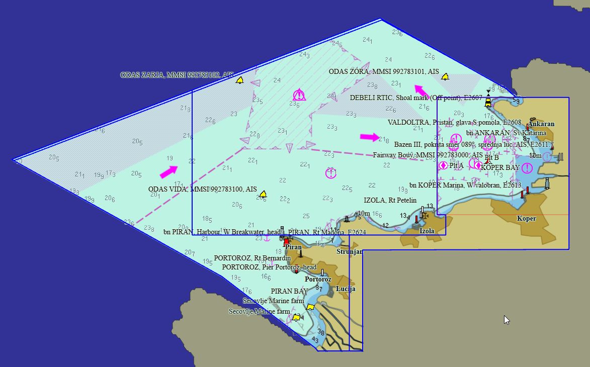
Slovenia 4 charts 19 € Purchase |
|
|
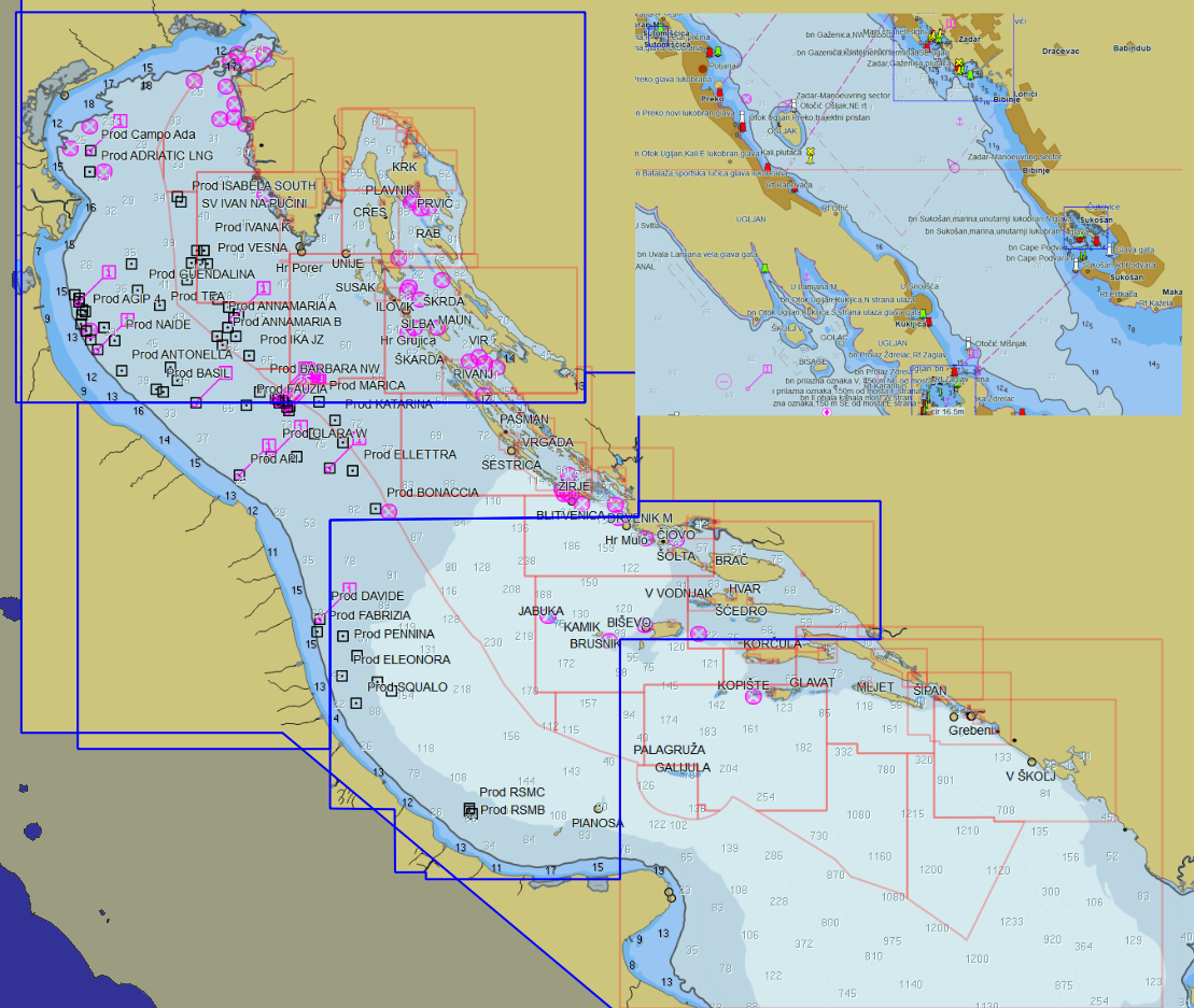
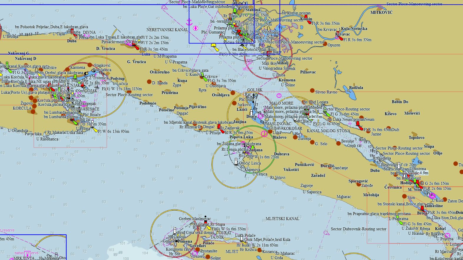
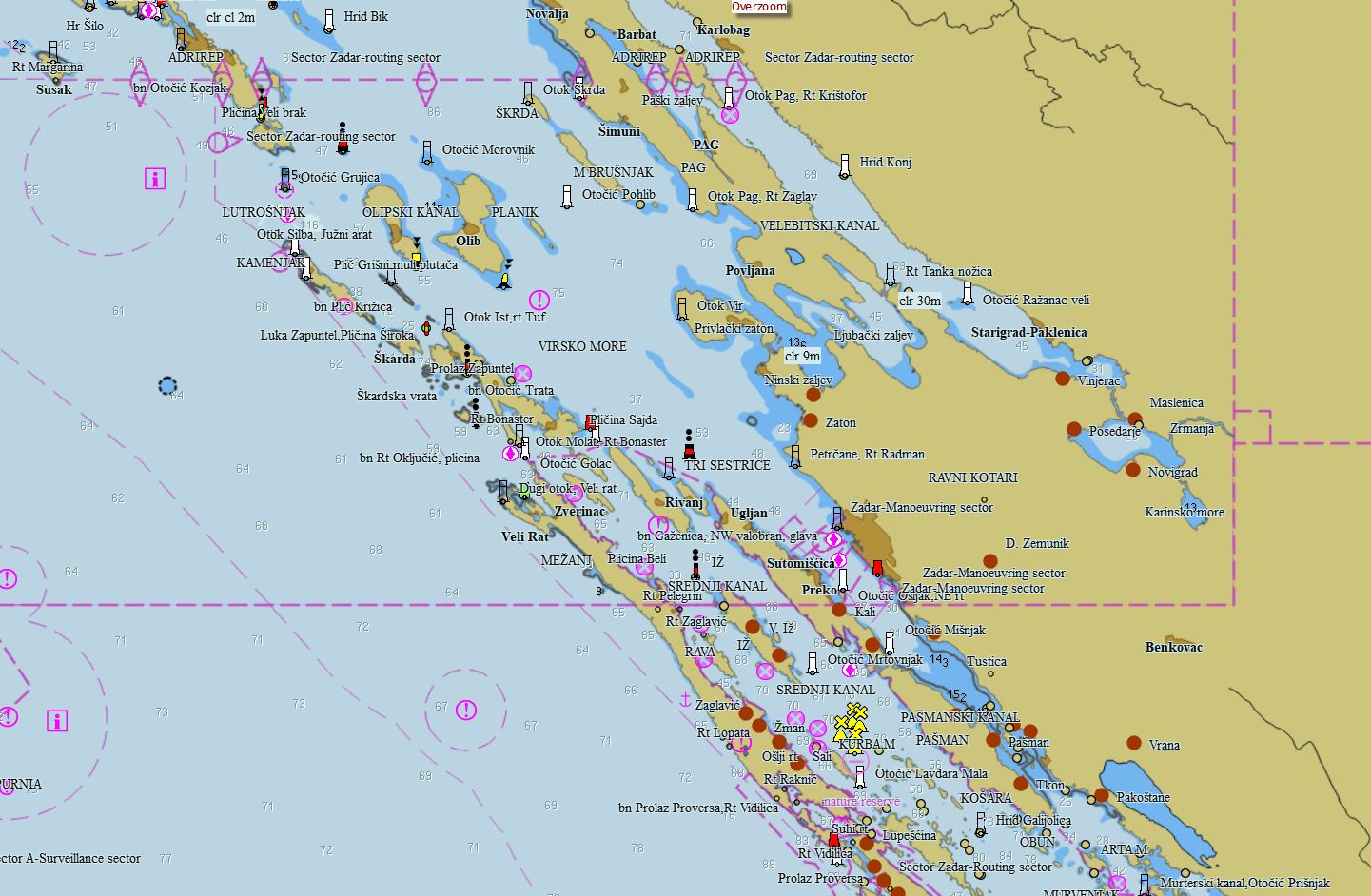
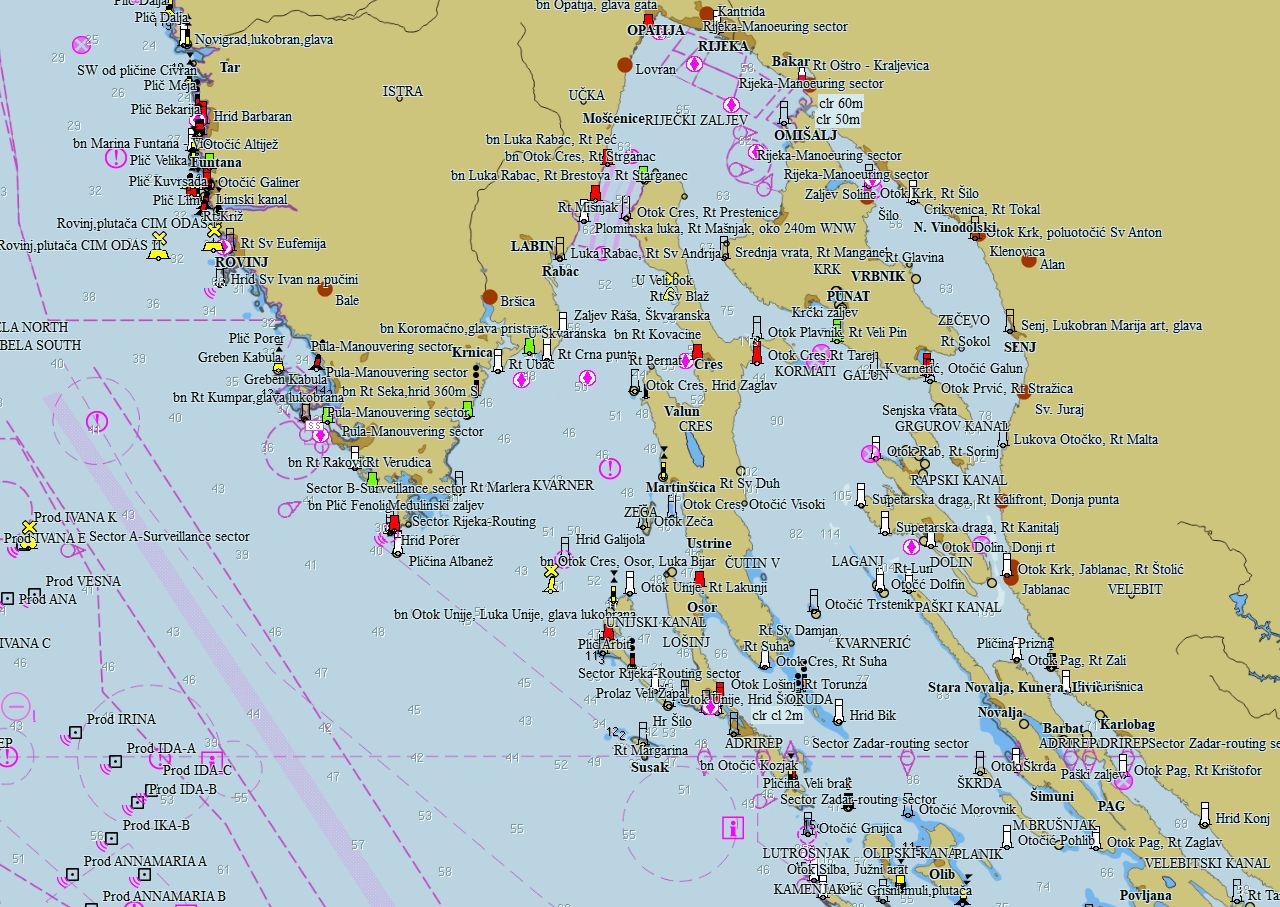
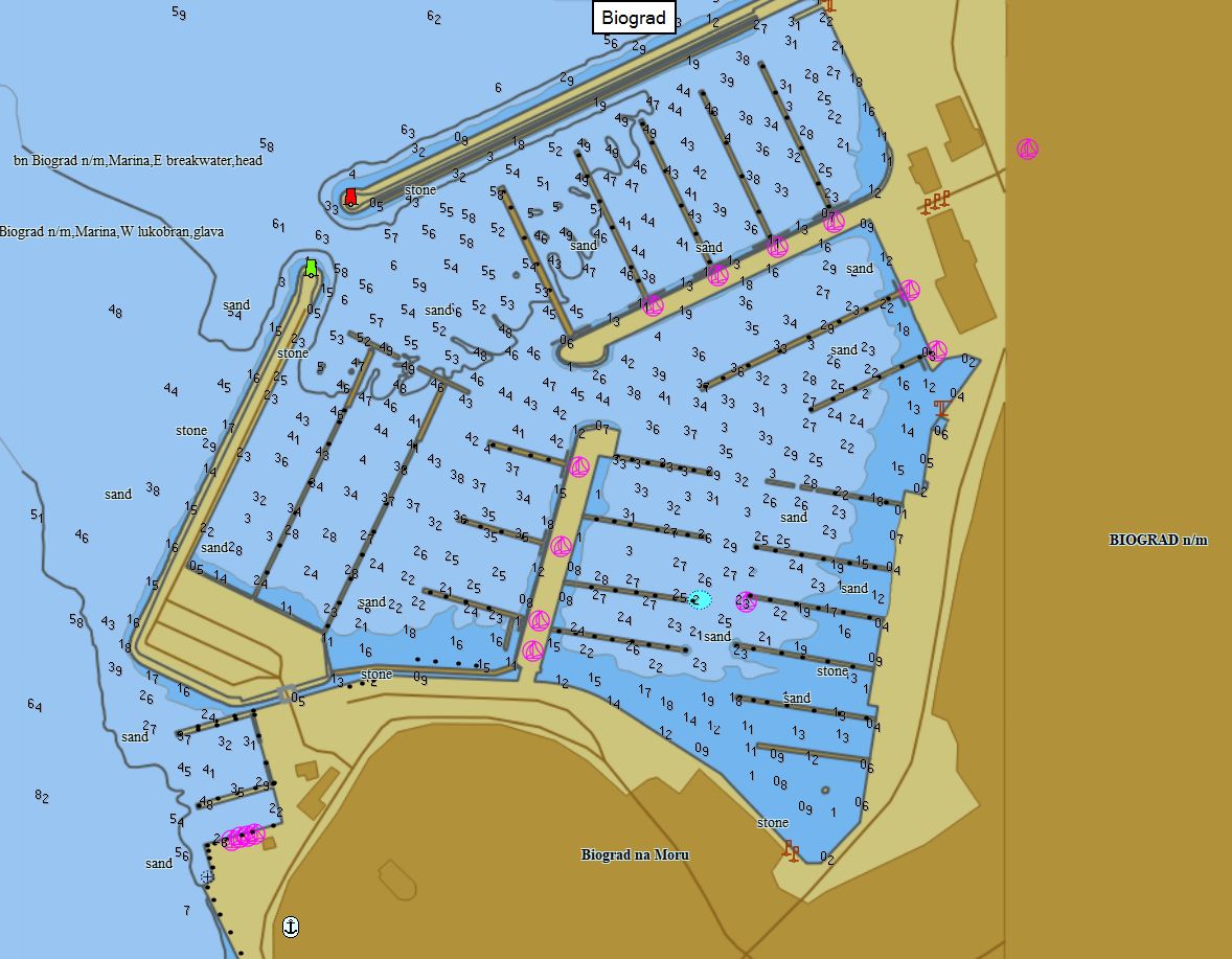
Croatia 323 charts 99 € Purchase |
|
|
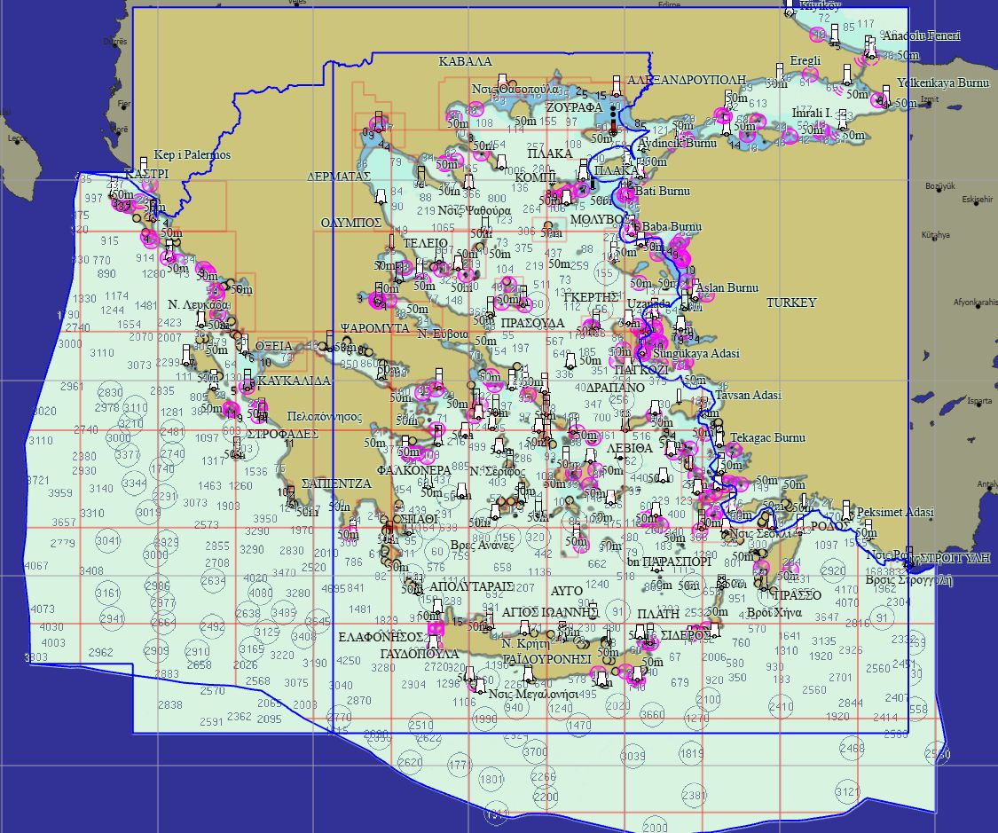
Greece 314 charts 99 € Purchase |
|
|
Romania 22 charts 69 € Purchase |
|
|
Montenegro 25 charts 19 € Purchase |
|


Packs - Africa
|
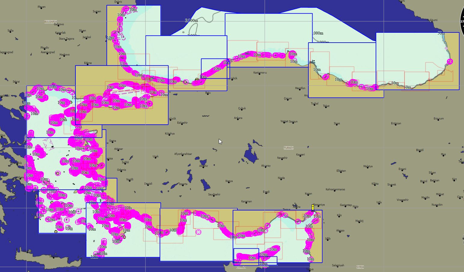
Türkiye 563 charts 89 € Purchase |
|
|
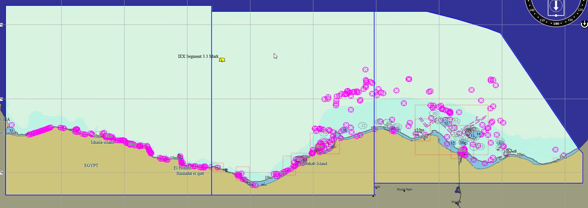
Egypt Mediterranean 27 charts 59 € Purchase |
|
|
Egypt Suez 14 charts 69 € Purchase |
|
|
Egypt Red Sea 19 charts 59 € Purchase |
|
|
South Africa 56 charts 79 € Purchase |
|


Packs - South America
|
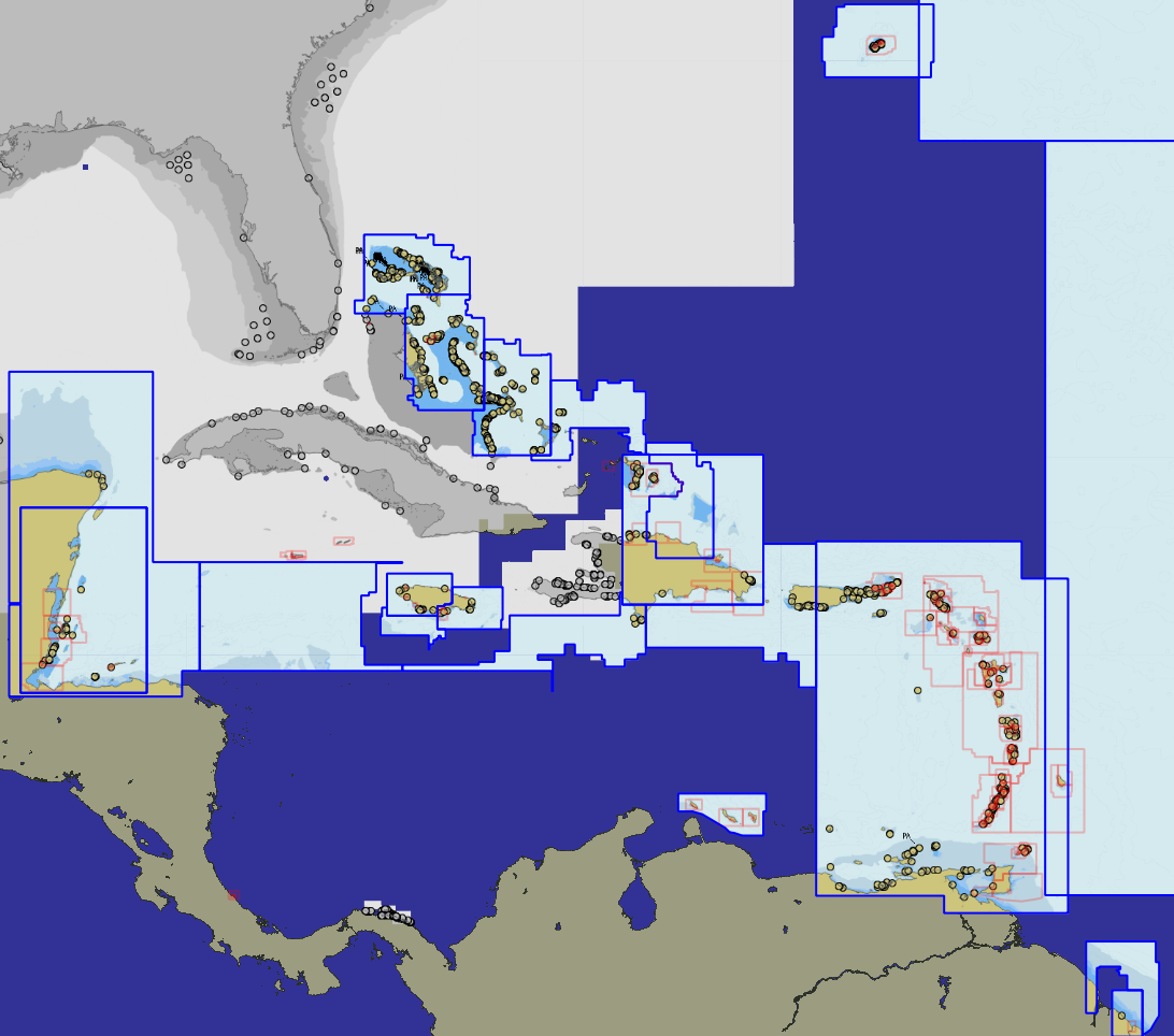
Cuba 69 charts 79 € Purchase |
|
|
Colombia Caribbean 56 charts 139 € Purchase |
|
|
Colombia Pacific 21 charts 139 € Purchase |
|
|
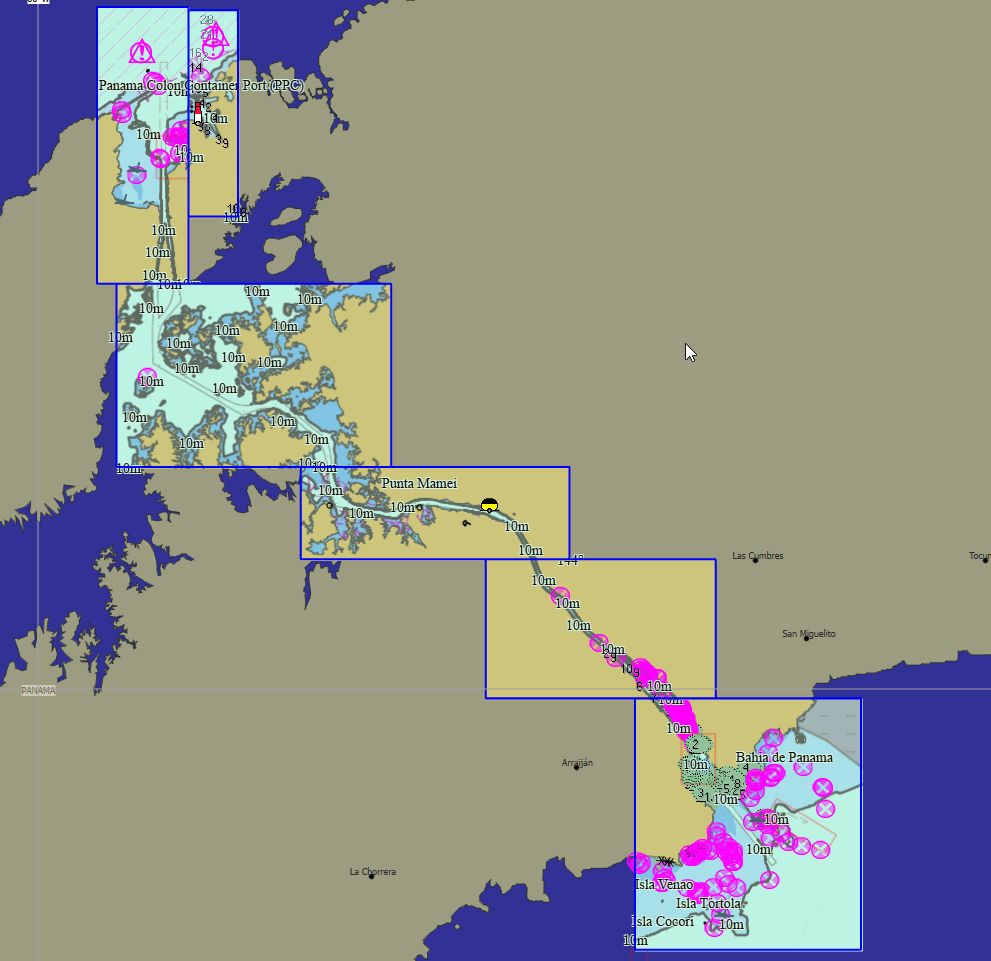
Panama 11 charts 89 € Purchase |
|
|
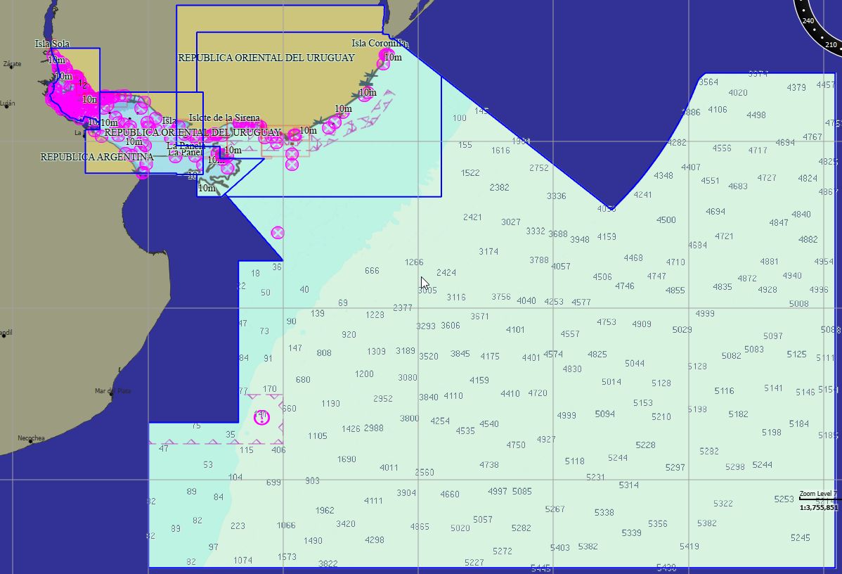
Uruguay 32 charts 99 € Purchase |
|
|
Uruguay River 28 charts 79 € Purchase |
|
|
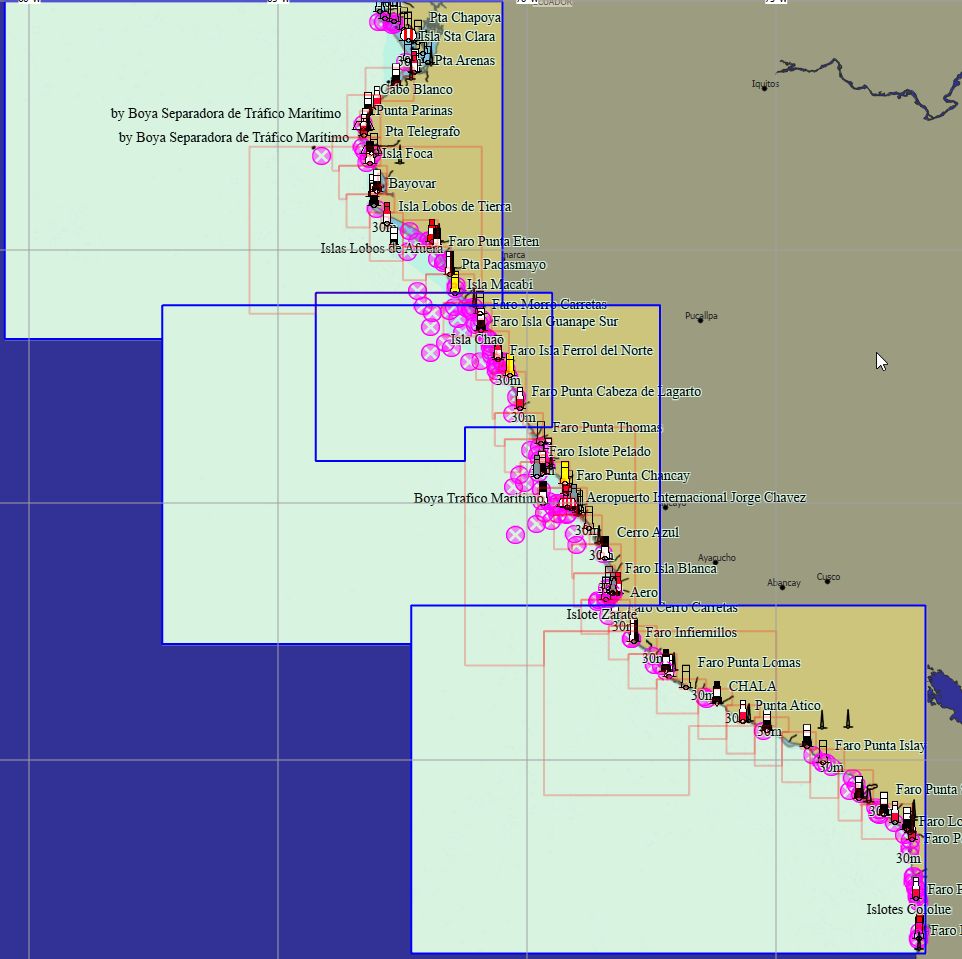
Peru 131 charts 89 € Purchase |
|
|
Mexico East 89 charts 139 € Purchase |
|
|
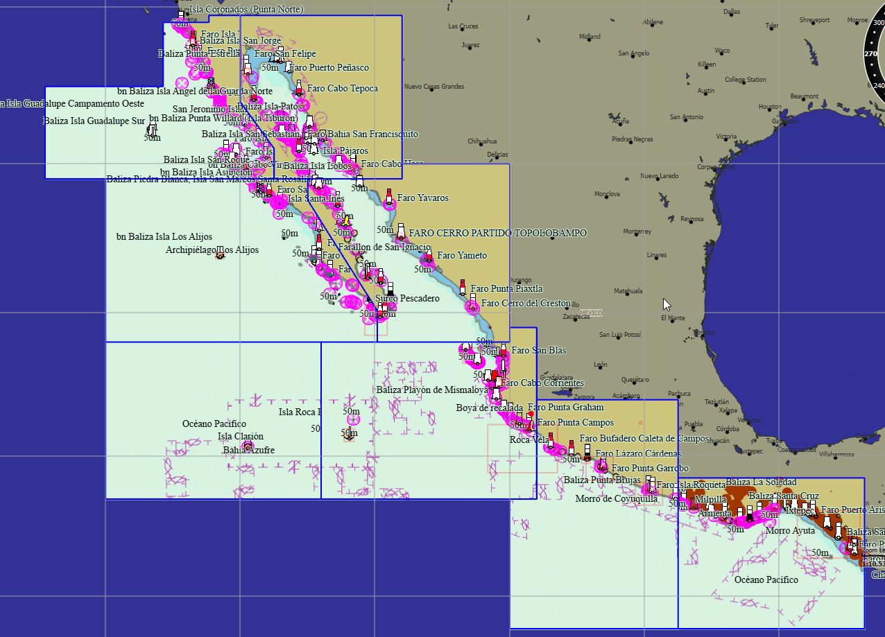
Mexico West 109 charts 179 € Purchase |
|
|
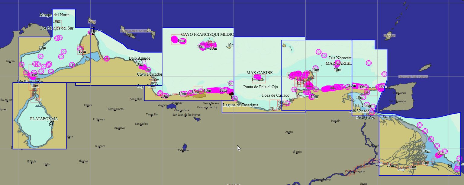
Venezuela 127 charts 199 € Purchase |
|
|
Brazil 169 charts 29 € Purchase |
|
|
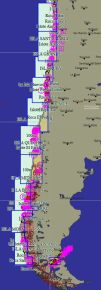
Chile 350 charts 79 € Purchase |
|
|
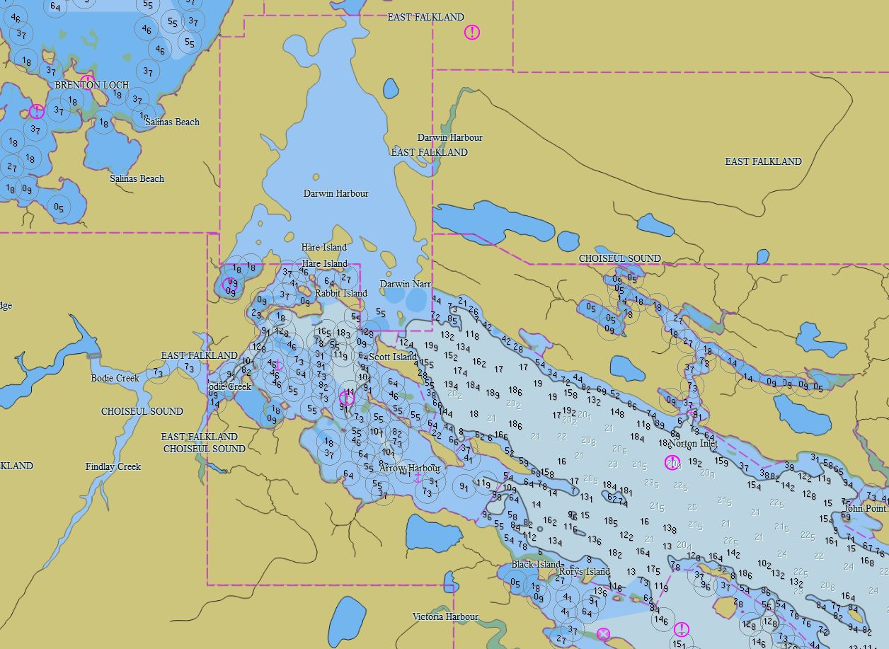
Argentina- Falklands 163 charts 79 € Purchase |
|


Packs - Others
|
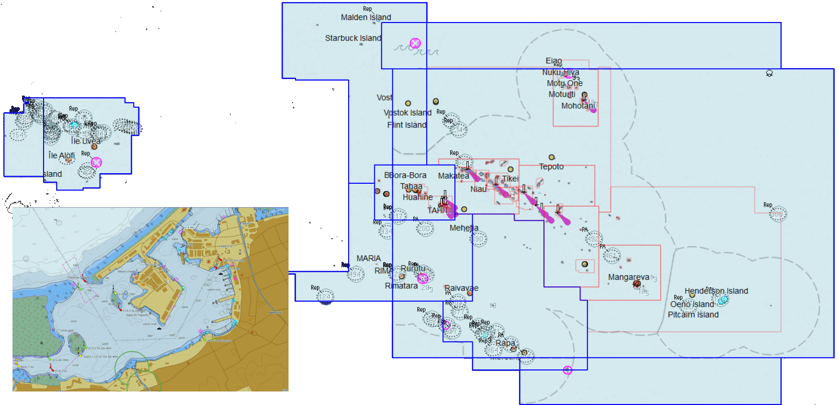
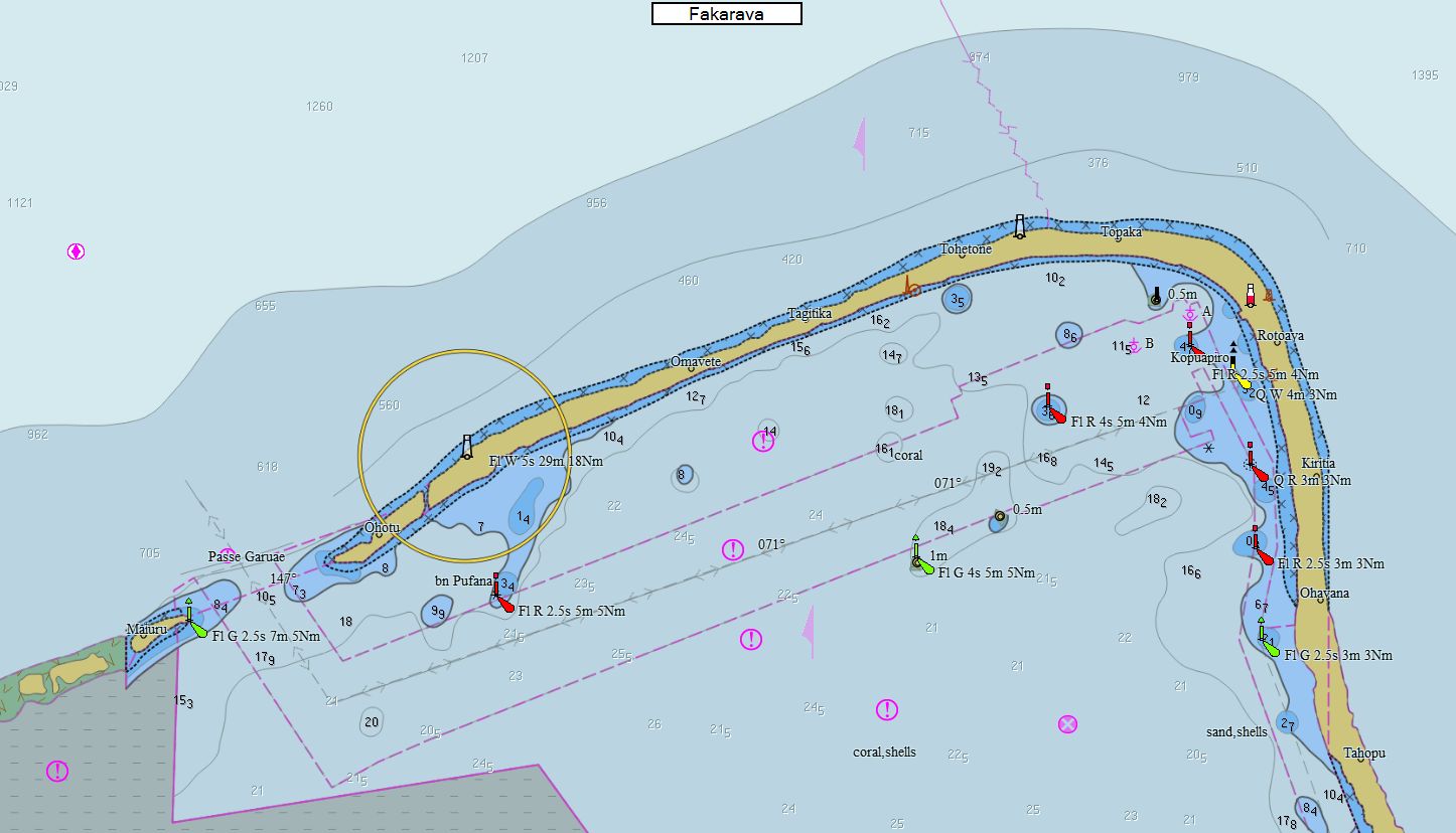
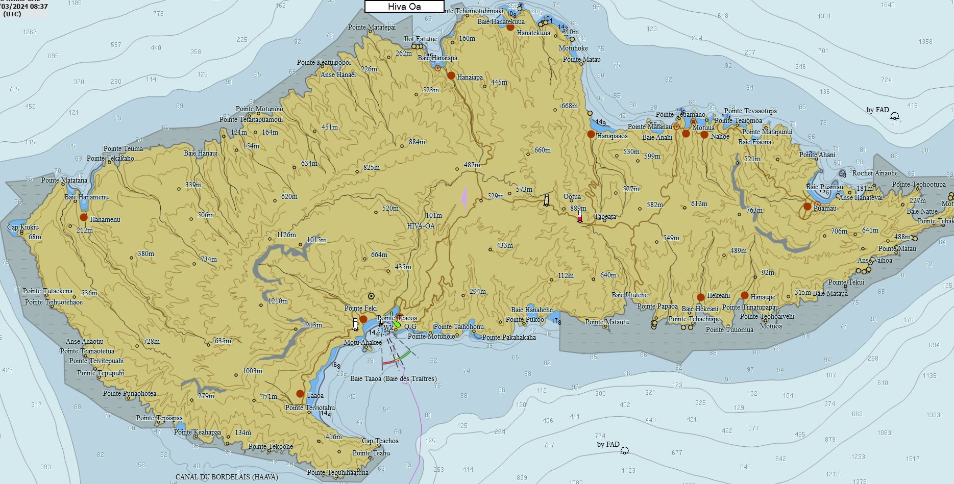
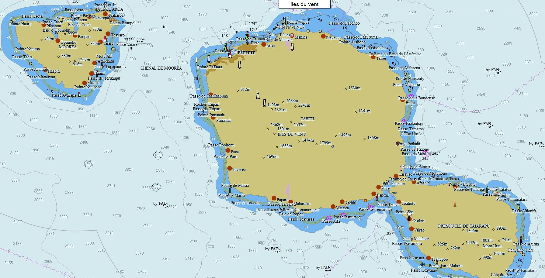
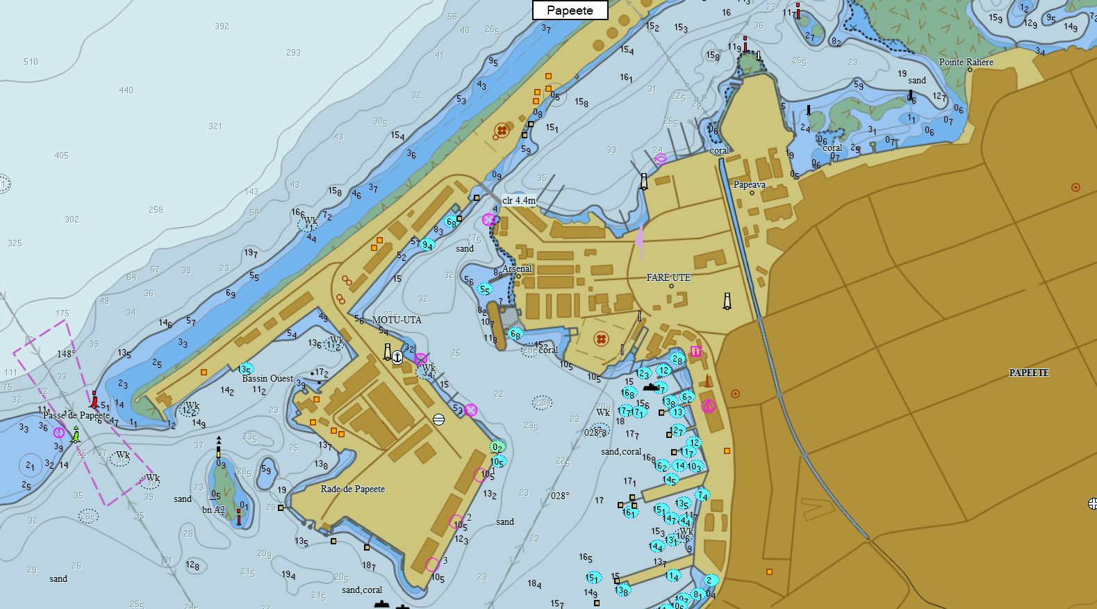
French Polynesia 180 charts 99 € Purchase |
|
|
Cook Islands-Niue-Samoa-Tokelau-Tonga 61 charts 89 € Purchase |
|
|
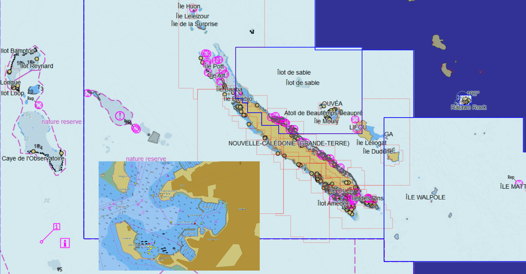
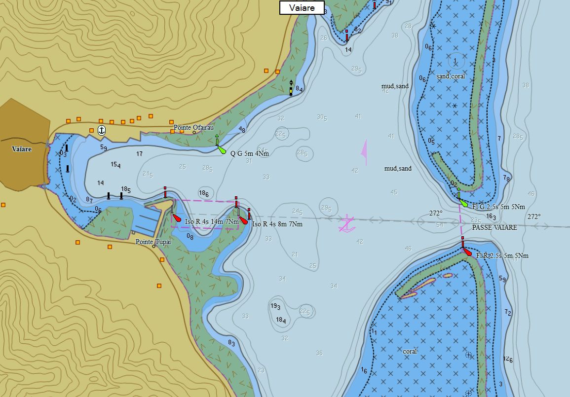
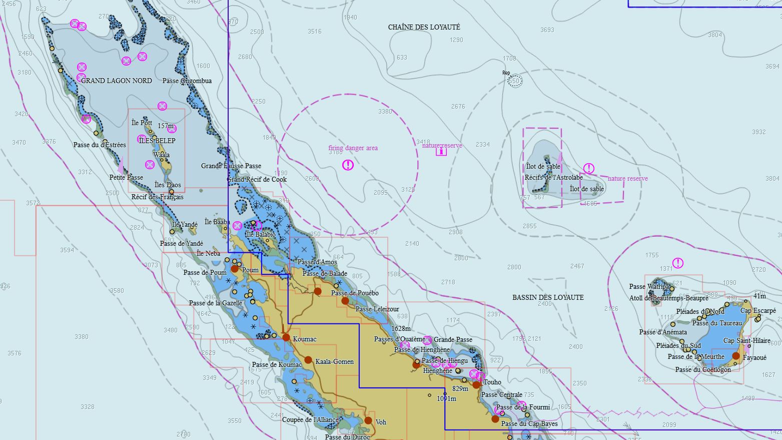
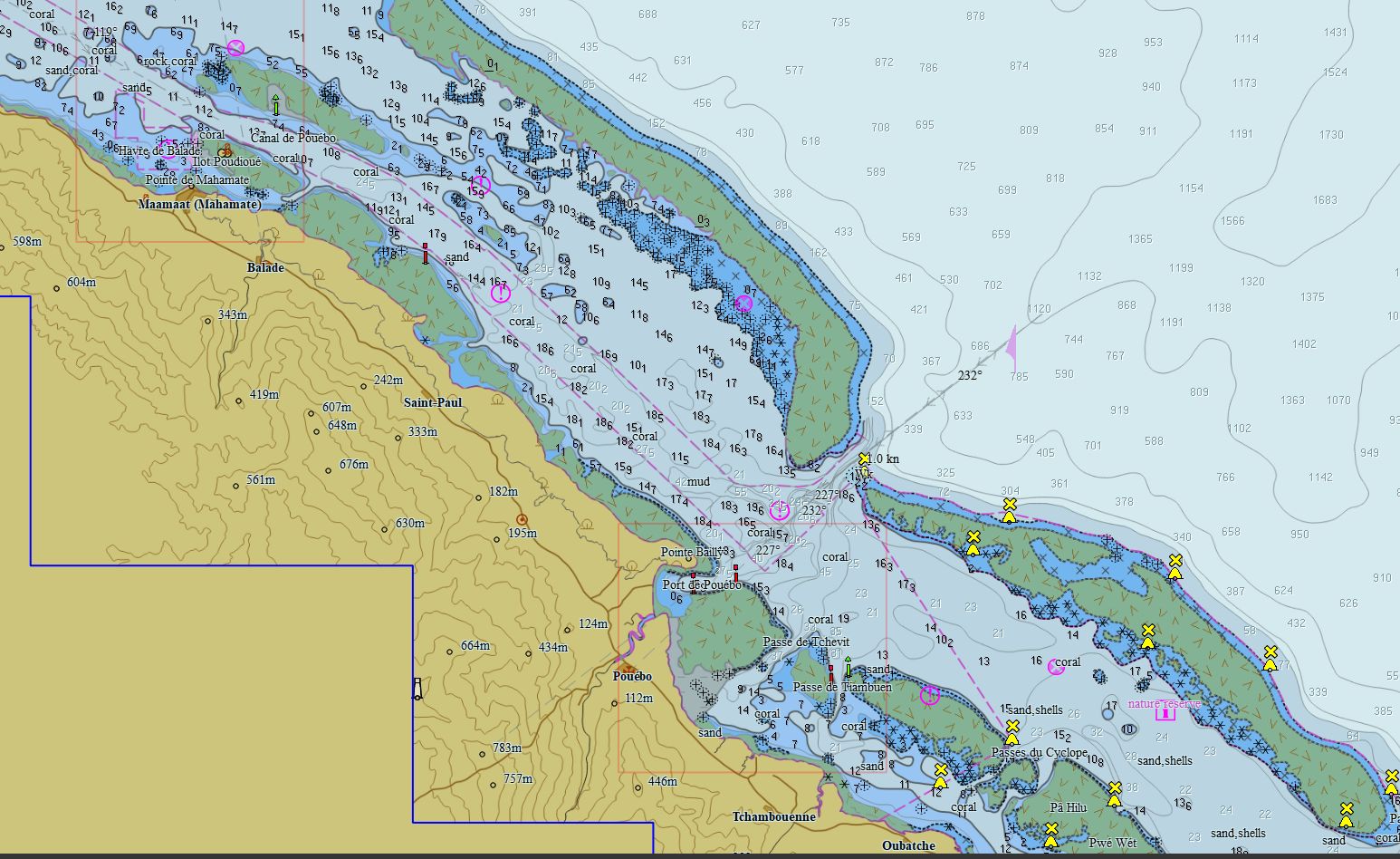
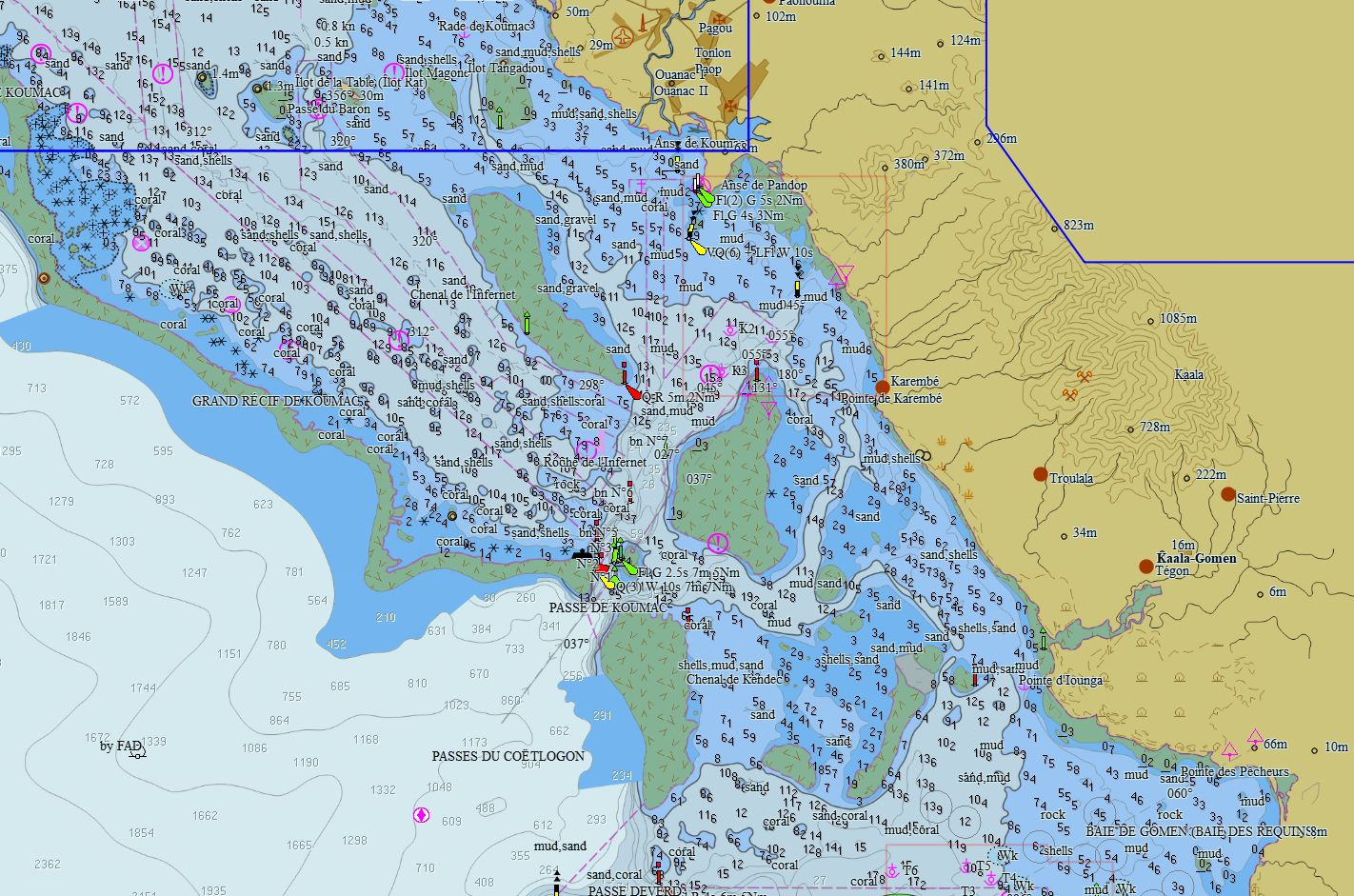
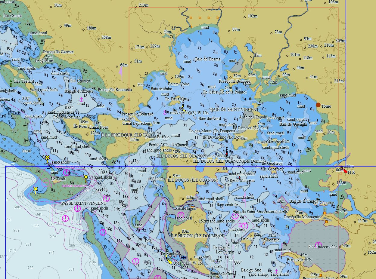
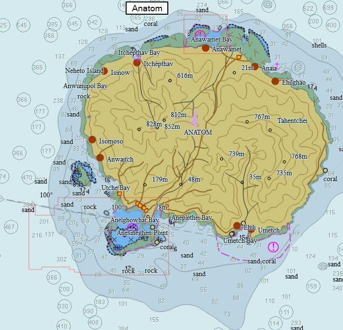
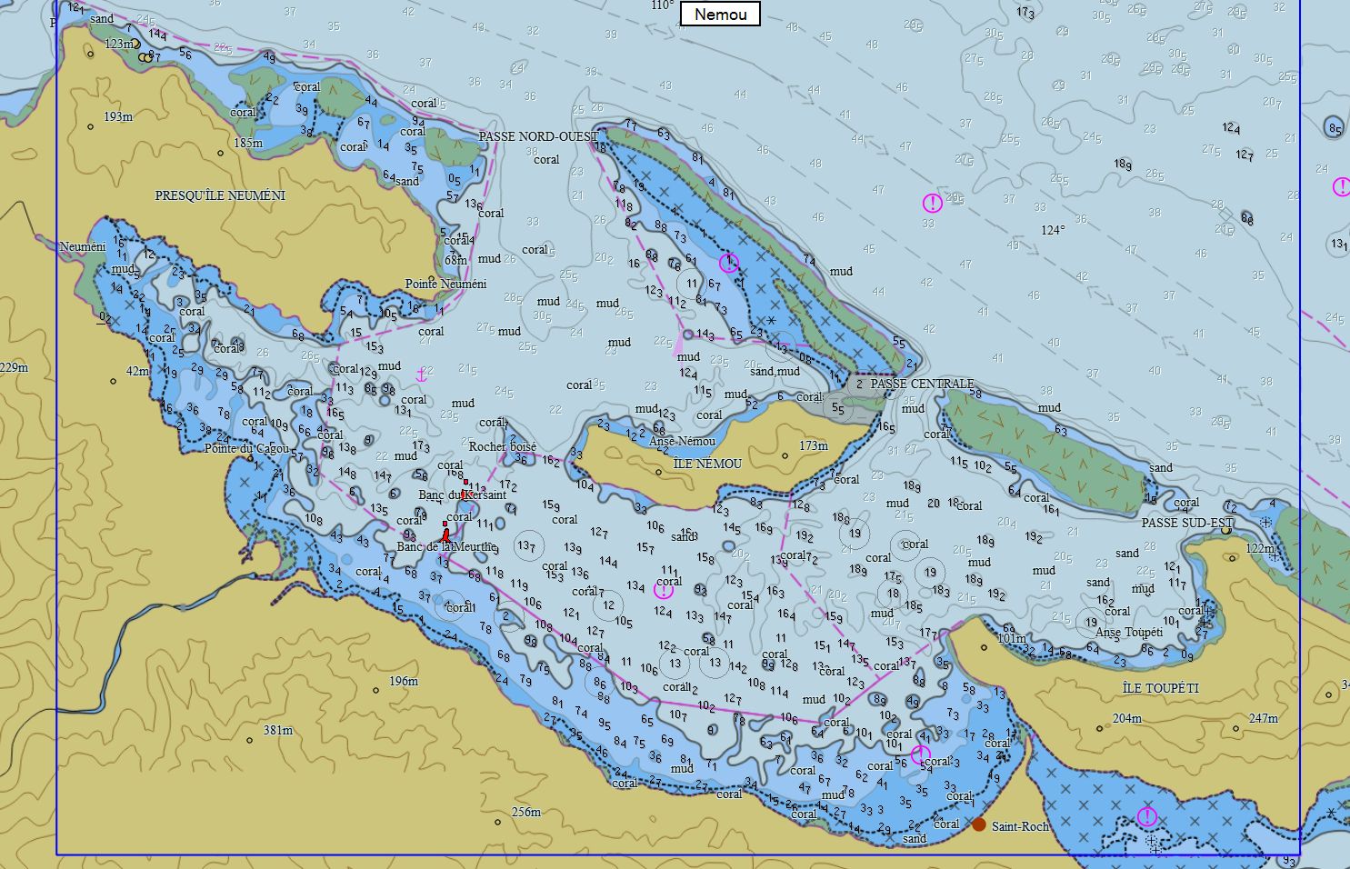
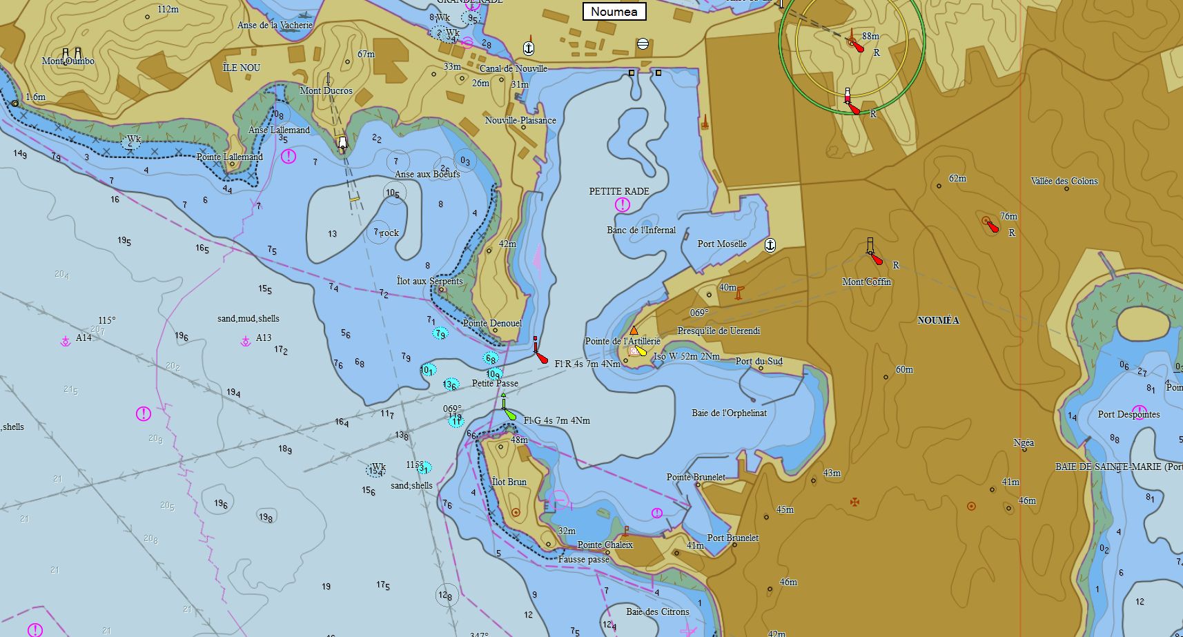
New Caledonia 116 charts 79 € Purchase |
|
|
New Zealand 260 charts 29 € Purchase |
|
|
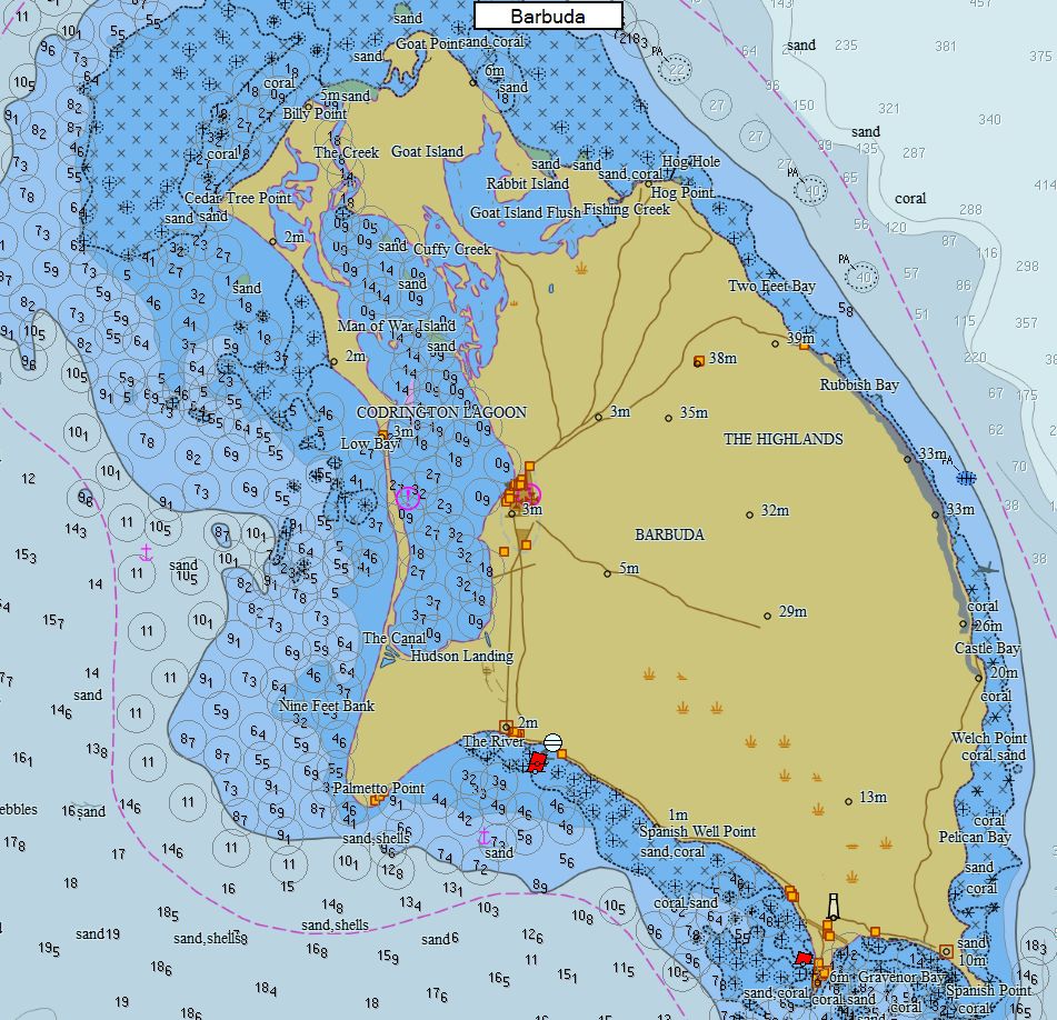
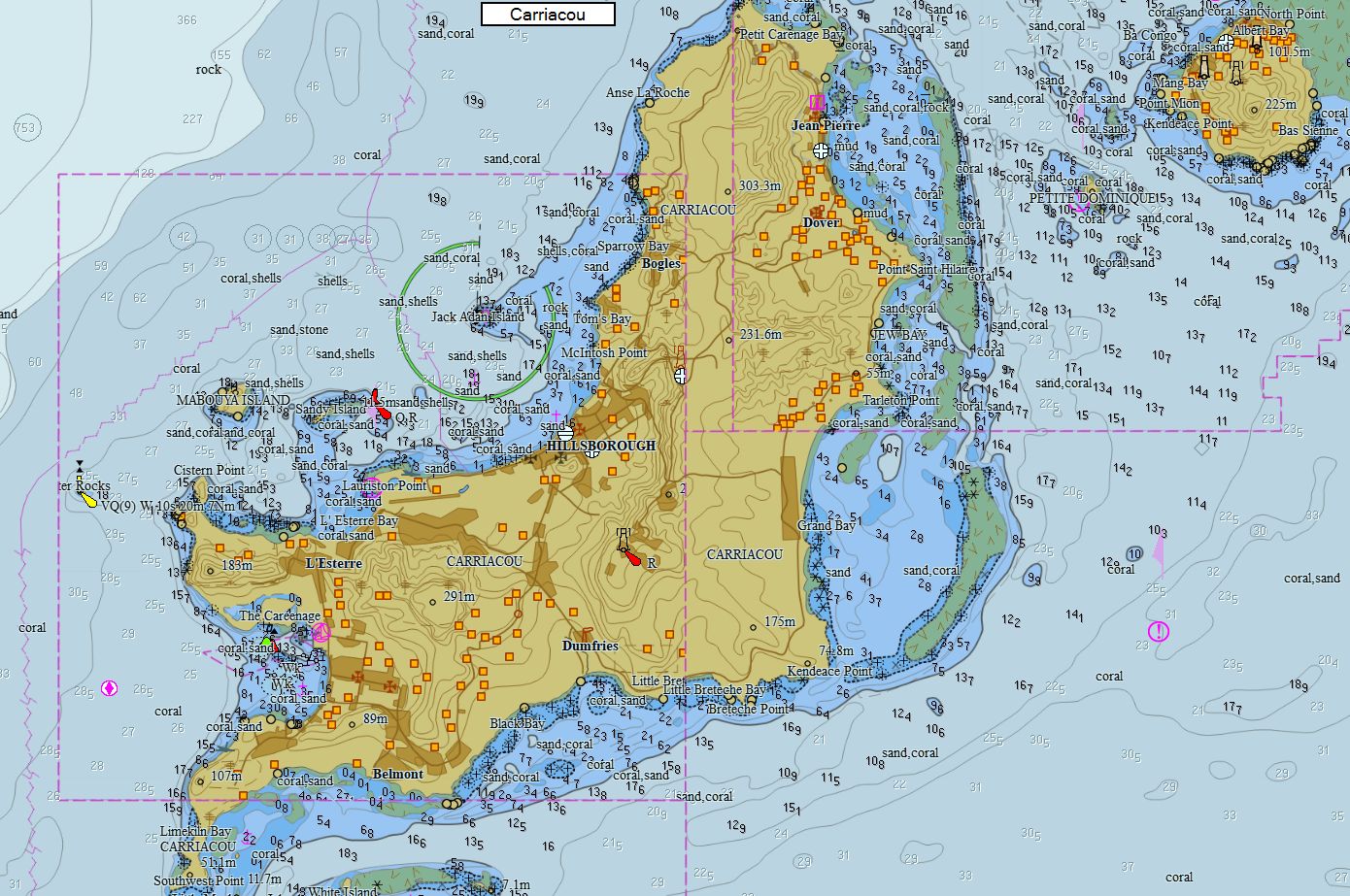
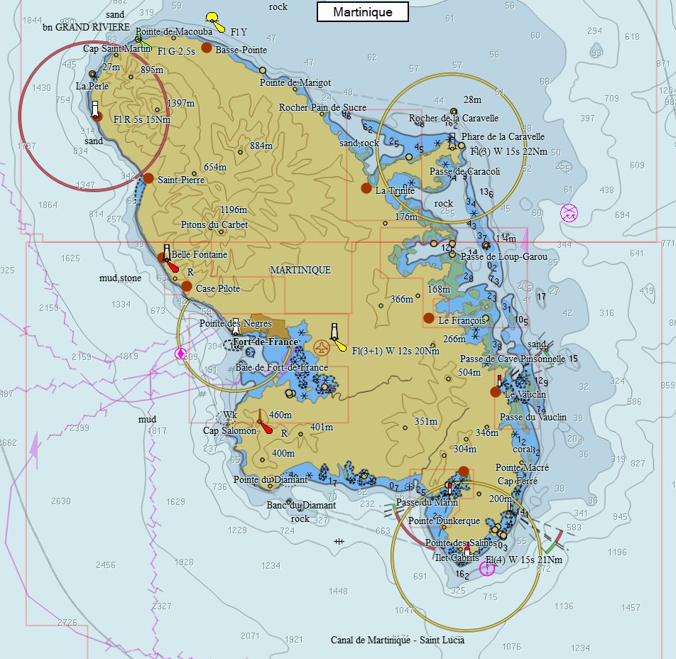
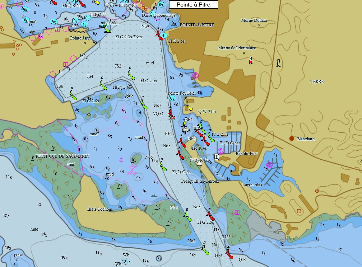
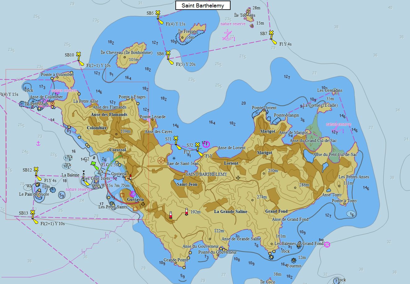
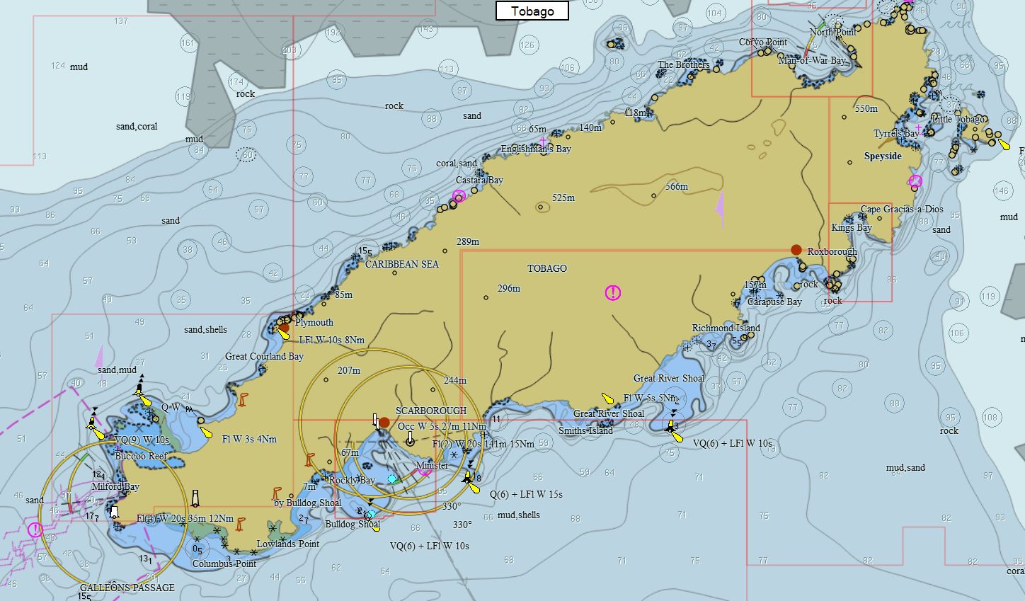
Caribbean 261 Charts 89 € Purchase |
|
|
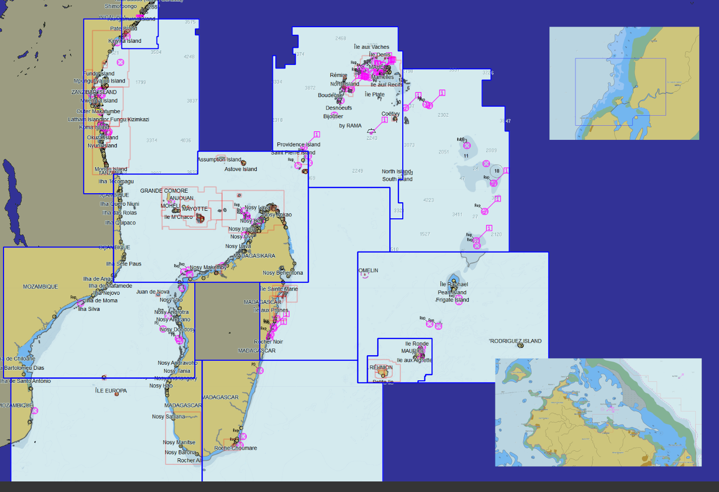
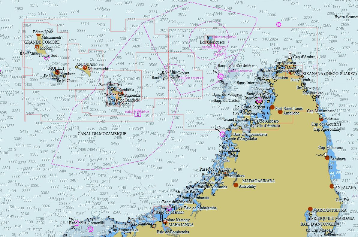
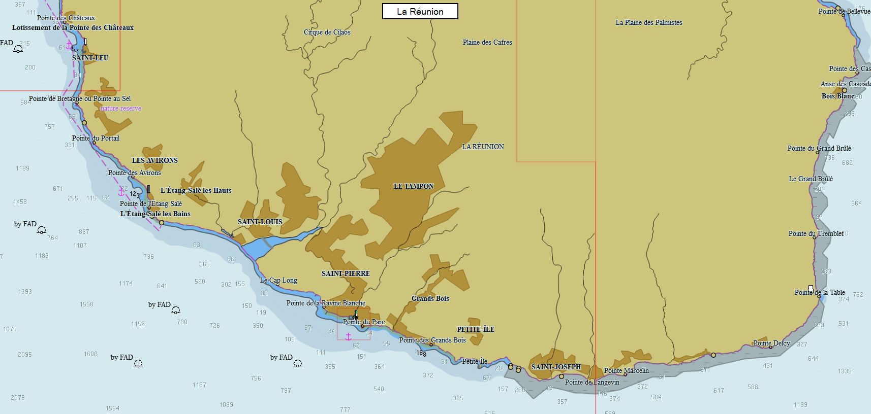
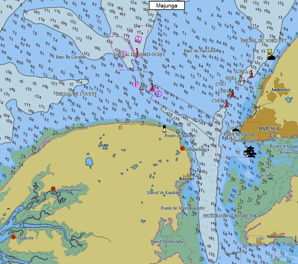
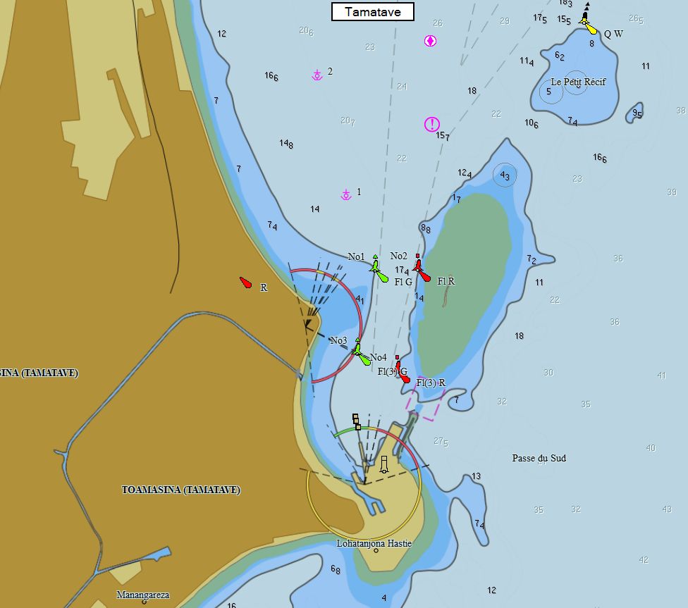
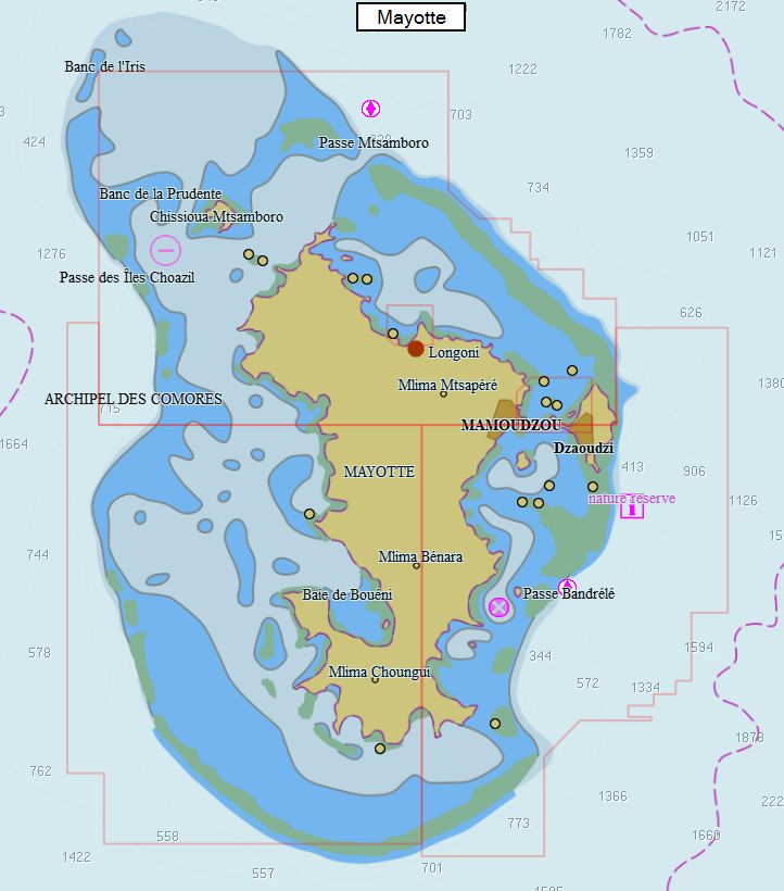
Madagascar - Comores - Réunion 137 charts 59 € Purchase |
|
|
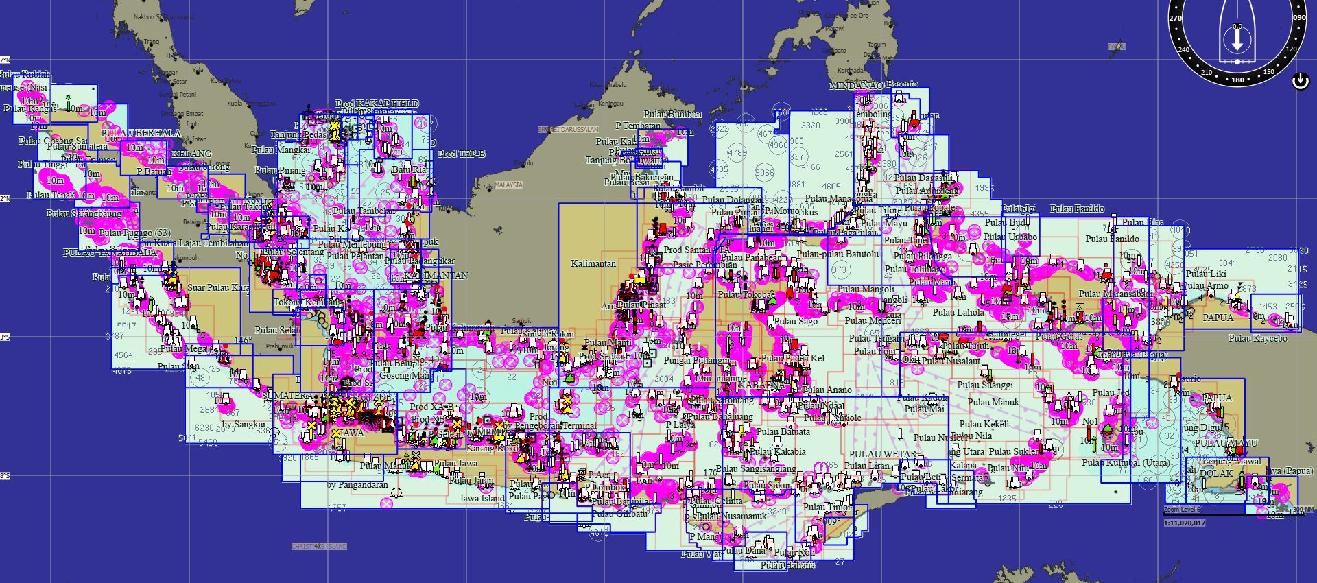
Indonesia 646 charts 149 € Purchase |
|
|
Malaysia 67 charts 69 € Purchase |
|
|
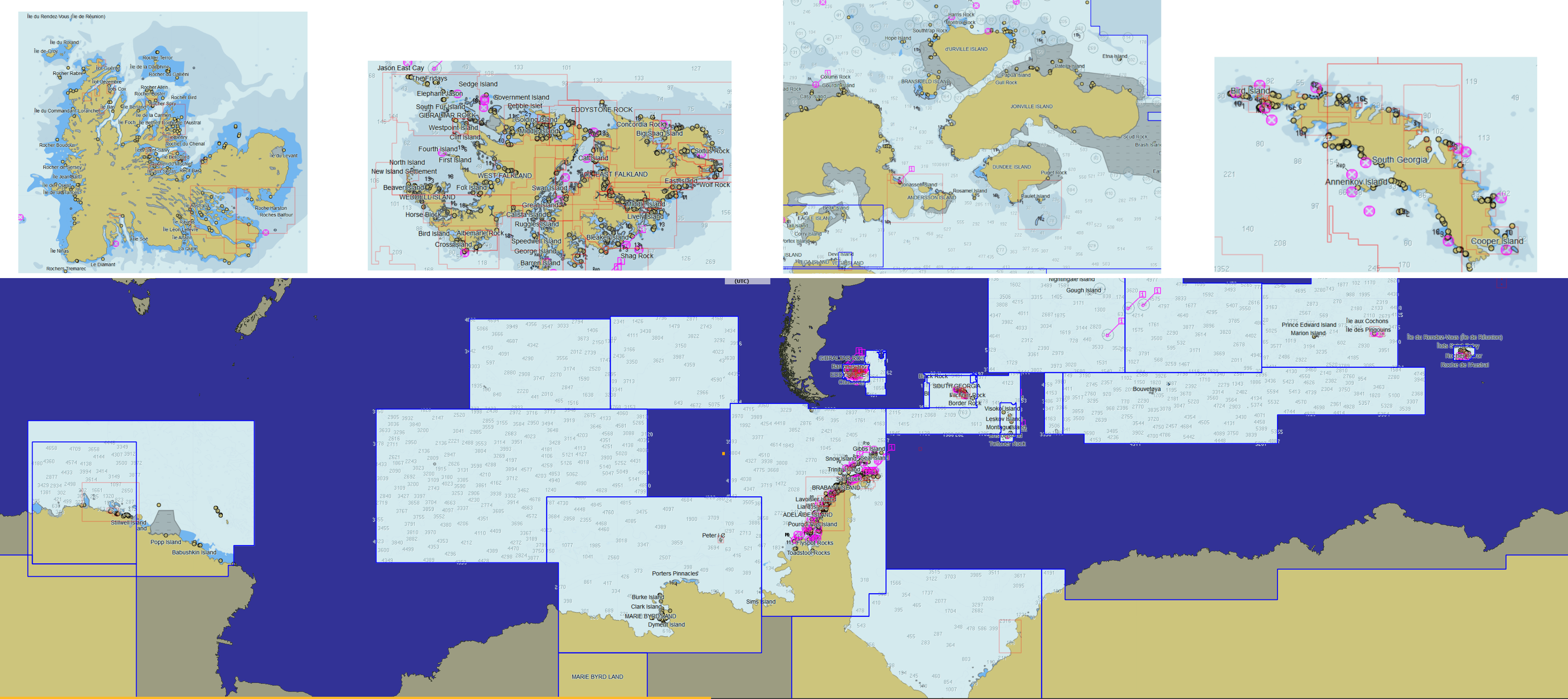
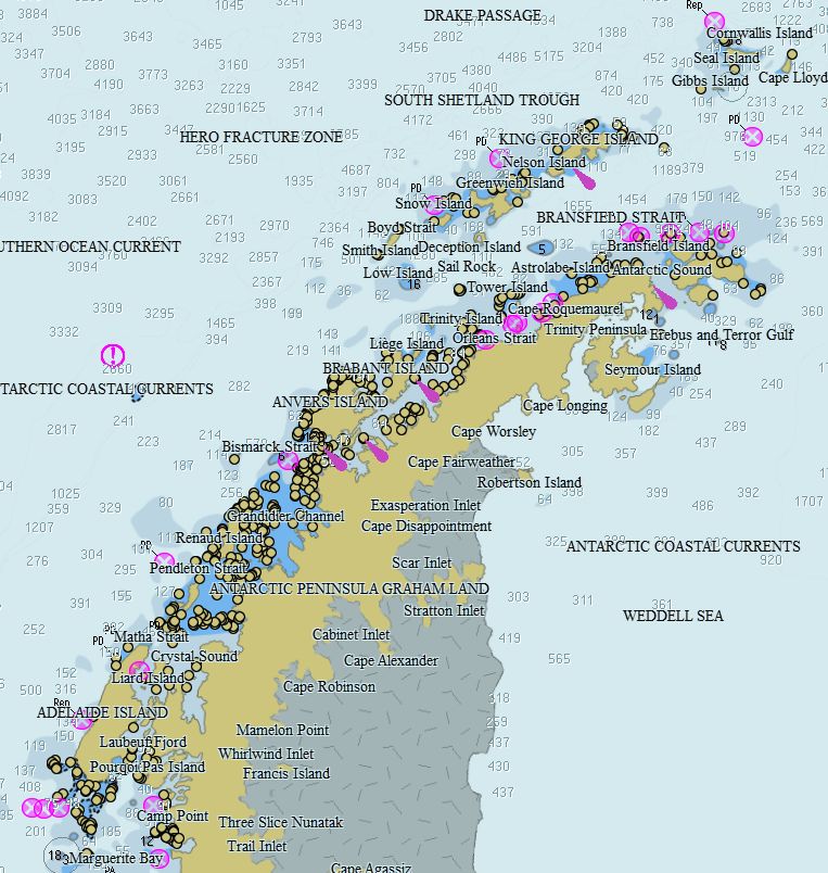
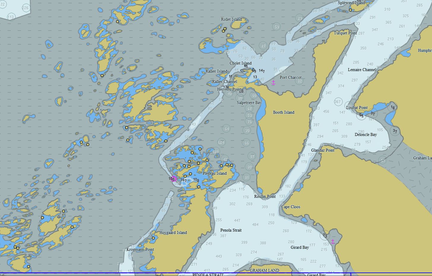
Antarctica- Falklands - Indian 199 charts 79 € Purchase |
|
|
Transatlantic 566 charts 149 € Purchase |
|


Charts licensors statements
SHOM:
Aucun service hydrographique officiel n’a vérifié les informations contenues dans ce document et ne peut être tenu responsable de la fidélité de leur reproduction ou de toute modification ultérieure. La possession de ce produit dérivé n’exonère pas de l’obligation d’utiliser les documents nautiques appropriés prévus par les règlements nationaux ou internationaux
No official Hydrographic Office has verified the information contained in this document and can not be held responsible for the accuracy of reproduction or any subsequent amendment. Possession of this derivative does not exempt you from the obligation to use appropriate nautical documents required by national or international laws.
UKHO:
The UK Hydrographic Office (UKHO) and its licensors make no warranties or representations, express or implied, with respect to this product. The UKHO and its licensors have not verified the information within this product or quality assured it.
It is not allowed to make paper copies bigger than A4 format, and these copies should be used only for own private study. These reproductions may not be used to aid navigation.
This product has been derived in part from material obtained from the UK Hydrographic Office with the permission of the UK Hydrographic Office, the Keeper of Public Records, and the following authorities: UKHO
IC-ENC:
This Service includes (but is not limited to) content based on ENC Data issued by government authorities. The Parties acknowledge and agree that whilst the relevant government authority has confidence in the ENC Data issued, once it is issued and converted into other formats, the relevant government authority has no further control over the said data or the service that is provided to users. This includes, but is not limited to representation, display, completeness, up-to-datedness, or accuracy.
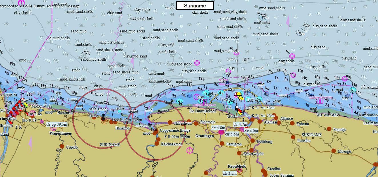
SR:
The Maritime Authority of Suriname and UK Hydrographic Office (MAS and UKHO) make no warranties or representations, express or implied, with respect to this product. MAS and UKHO have not verified the information within this product or quality assured it.
This product has been derived in part from material obtained from the Maritime Authority of Suriname and UK Hydrographic Office with their permission. © Copyright Maritime Authority of Suriname, 2023. All rights reserved.
NL:
This product has been derived in part from material obtained from the Hydrographic Service of the Royal Netherlands Navy and UK Hydrographic Office with their perrmission. © Copyright Hydrographic Service of the Royal Netherlands Navy (NLHS), 2023. All rights reserved.
The Hydrographic Service of the Royal Netherlands Navy and UK Hydrographic Office (NLHS and UKHO) make no warranties or representations, express or implied, with respect to this product. The NLHS and UKHO have not verified the information within this product or quality assured it.
No National Hydrographic Office has verified the information in this product, and none accept liability for the accuracy of reproduction or modification of their own material. No National Hydrographic Office warrants that this product satisfies national or international regulations regarding the use of appropriate products for navigation.
PT:
This product has been derived in part from material obtained from the Instituto Hidrográfico, Portugal (IHPT) and the UK Hydrographic Office with their permission. © Copyright Instituto Hidrográfico, Portugal (IHPT), 2023. All rights reserved.
Instituto Hidrográfico, Portugal (IHPT) and the UK Hydrographic Office (UKHO) make no warranties or representations, express or implied, with respect to this product. The Instituto Hidrográfico, Portugal (IHPT) and the UKHO have not verified the information within this product or quality assured it.
ES:
This product has been derived in part from material obtained from the Instituto Hidrográfico de la Marina and the UK Hydrographic Office with their permission. ©Instituto Hidrográfico de la Marina, 2023. All rights reserved.
THIS PRODUCT IS NOT TO BE USED FOR NAVIGATION. The use of this product for the planning and execution of passages will not meet the requirements of SOLAS.
Instituto Hidrográfico de la Marina (IHM) and the UK Hydrographic Office (UKHO) make no warranties or representations, express or implied, with respect to this product. The Instituto Hidrográfico de la Marina (IHM) and the UKHO have not verified the information within this product or quality assured it.
IS:
This product has been derived in part from material obtained from the Icelandic Coast Guard, Hydrographic Department and the UK Hydrographic Office with their permission.© Icelandic Coast Guard, Hydrographic Department, 2023. All rights reserved.
Icelandic Coast Guard, Hydrographic Department and the UK Hydrographic Office (UKHO) make no warranties or representations, express or implied, with respect to this product. The Icelandic Coast Guard, Hydrographic Department, and the UKHO have not verified the information within this product or quality assured it.
HR:
This product has been derived in part from material obtained from the Hrvatski Hidrografski Institut and the UK Hydrographic Office with their permission.© Copyright Hrvatski Hidrografski Institut, 2023. All rights reserved.
MT:
This product has been derived in part from material obtained from the Malta Hydrographic Office, Ports and Yachting Directorate, Transport Malta and the UK Hydrographic Office with their permission. ©Malta Hydrographic Office, Ports and Yachting Directorate, Transport Malta 2023. All rights reserved.
El Servicio Hidrográfico y Oceanográfico de la Armada de Chile (SHOA) no se hace responsable de los productos de los sistemas ECD Service comercializados por los distribuidores, ni ofrece garantías a los usuarios finales por estos productos no oficiales que no han sido validados por el Estado de Chile
considered as an official product issued by the Maritime Hydrographic Directorate of Romania. All rights reserved.